More strong winds and rain on the way
Dec 3, 2012, 6:26 AM | Updated: 11:29 am

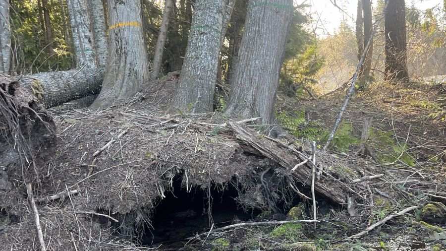
Another round of strong rain and wind is approaching Western Washington. (AP Photo/file)
(AP Photo/file)

Another round of strong winds and periods of heavy rain are heading for Western Washington after a blustery storm blew through the region Sunday night.
“We had some decent gusts out there,” says Dustin Guy, meteorologist with the National Weather Service in Seattle.
Guy says the highest wind speed around the Puget Sound area was recorded around 4:00 am on Alki Point in West Seattle at 47 mph.
Another round of wind and heavier rain is expected Monday afternoon just in time for the afternoon commute after a brief break with off and on showers throughout the day.
“It’s going to definitely stay on the breezy side,” Guy says of Monday’s forecast.
The National Weather Service predicts the strongest winds on the coast and north interior, while gusts of 20-30 mph are expected in the Puget Sound area. A high wind watch has been posted for the south Washington coast Monday night.
Minor flooding is expected on the Skokomish River at Potlatch.
While there’s been no significant flooding around the Puget Sound area, another mudslide canceled Sounder north line commuter train service between Everett and Seattle.
In the mountains, heavy snow is falling on Stevens Pass. Traction traction tires are advised. A mix of rain and snow was falling on Snoqualmie Pass mid-day.
A mix of rain and snow is falling at Snoqualmie Pass. KING 5 meteorologist Rich Marriott says between 3 to 8 inches of snowfall is possible with snow levels Monday afternoon around 4,000 feet, rising to 5,000 feet in the evening.