First snow of the season reported at Stevens Pass
Oct 10, 2016, 10:41 AM | Updated: 10:54 am
The first snow in the mountain passes was reported Monday morning. (Brian Moore/Washington State Patrol)
(Brian Moore/Washington State Patrol)

The National Weather Service reports that the first frosty morning of fall for many areas in western Washington will be Tuesday and Wednesday. But the first snow for Stevens Pass came earlier than that.
Related: Proof residents should stop complaining about Seattle weather
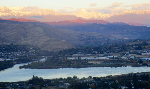
Snow was reported at Stevens and Snoqualmie passes on Monday morning.
Snow! #Alpental #snow #chair2 #snoqualmiepass 📷: Josh F. pic.twitter.com/DxLiq4PvP6
— Summit at Snoqualmie (@SummitSnow411) October 10, 2016
The National Weather Service reports a 20-percent chance of snow showers in the passes until 11 a.m. The rest of Monday is expected to be partly sunny. Ditto for Tuesday. The rain is expected to roll in Wednesday night.
As for the lowlands, the Weather Service says the first frost is likely to come Tuesday, or Wednesday at the latest.
First frosty mornings of fall for many outlying areas Tue and Wed mornings. Frost likely where 37 or colder observed. #wawx #seattleweather pic.twitter.com/OCtp5ZFRu7
— NWS Seattle (@NWSSeattle) October 9, 2016
KIRO 7’s Nick Allard says Seattle can expect highs in the low 60s through Wednesday. The rain will likely return Thursday and last through Saturday.
There is potential for flooding in some areas, according to the Weather Service. Damaging winds could add on to the stormy weather.
Pay attention to fcst this week! Thu thru next Sunday very stormy. Flooding rain possible, and a few damaging wind opportunities. #wawx pic.twitter.com/0iaSsuZru7
— NWS Seattle (@NWSSeattle) October 9, 2016