Baby it’s warm outside: Seattle sets another weather record
Nov 30, 2016, 4:26 PM

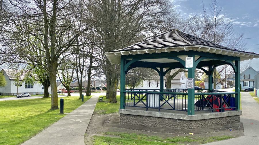
A sunny fall day around Seattle. (National Weather Service - Seattle)
(National Weather Service - Seattle)

If you’ve been outside Wednesday, it may come as a surprise that the region hit another warm record this November.
“The current average monthly temperature is 51 degrees,” said Meteorologist Johnny Burg with the National Weather Service. “That is 5.5 degrees above normal. The average temperature should be around 45.5 degrees.”
Check local weather conditions
The month wasn’t officially over when Burg made that statement, but he felt comfortable enough saying that November 2016 will likely be the second warmest on record. The warmest November on record was in 1899 with an average temperature of 51.9 degrees.
July 2016 was the coolest in recent years, yet still warmer than normal. Meteorologists also noted May 2016 was a bit ahead of its time and felt more like June’s typical warm weather. April 2016 also set a few high temperature records.
While temperatures started to drop during the second half of the month, and despite talk of snow looming on the horizon, the warm weather is largely due to higher temps in the first half of the month.
“We had a few days when we had highs in the 60s and one day — on the 8th — we had a high of 70,” Berg said. “It was pretty warm to where our departure from normal was 5-13 degrees off.”
That 70 degree day on Nov. 8 is the fifth warmest November day on record. Still, while the second half of November has felt cooler — Mount Rainier has even been as cold as the South Pole — Burg says it has still been warm when you consider the data.
“In the last couple of days, it has felt cooler, but it was still above normal for this time of year,” he said. “Right now, SeaTac is supposed to have highs around the upper 40s and lows in the upper 30s. But we had highs around 50, and lows around the lower 40s. We are not as warm as we were during the first half of the month, but we are warmer than we should be.”
Most meteorologist will tell you that it’s hard to predict weather the further you look out. There has been talk about La Nina, however, and possible snow falling in the lowlands in the weeks ahead. Burg said that a La Nina cycle is generally colder, but that won’t affect the Northwest until later in winter. So the warm weather could be over in the coming weeks.
“You can’t blame any one thing like climate change or La Nina,” Burg said. “That’s more of climate, which is over a long period of time. With La Nina, for here it’s cooler and wetter than normal. We are now in a La Nina pattern, but we don’t see the effects of it until later on in winter.”
#SeaTacAP has no blw norm avg temp days this month, & Nov 2016 is 2nd warmest(51.0°) for #Seattle (since 1894). Warmest Nov? 1899(51.9°).
— NWS Seattle (@NWSSeattle) November 30, 2016