We came so close to the Seattle rainfall record
Mar 1, 2017, 3:59 PM | Updated: 4:48 pm
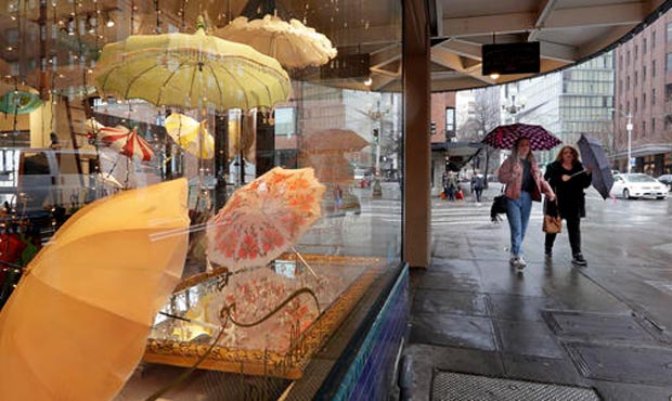
Seattle rainfall. (AP)
(AP)

February brought the rain this year. So much so that it smashed Seattle rainfall records.
But it wasn’t enough to claim the top spot as the wettest in history.
“It’s the second wettest February on record,” said Josh Smith, a meteorologist with the National Weather Service. “That first place still is 1961 with 9.11 (inches). This month we got 8.85 inches (of rain).”
PHOTOS: Snow falls across Western Washington
Seattle rainfall, cold weather and snow
The weather service also points out this winter has produced some notable statistics that are pretty cool — frigid even. This winter is the coldest winter season (December, January, February) since 1985. And it’s the snowiest since 2009.
“Maybe you have had colder days (in past winters),” Smith said. “But the average temperatures for this past winter were the coldest in 32 years.”
“This year we had a La Nina year,” he said. “During La Nina years, we tend to see cooler temperatures, especially in January and February. That could have been the reason for colder than normal temperatures.”
With 11.2 inches of snow this winter — the norm is about 4.8 inches — it should be noted that it officially counts as the 29th snowiest winter season on record. That’s pretty far off from the top spot.
Which begs the question — even though we had significant snow, shouldn’t Seattle have had even more, given how cold it was? Like a Snowmegeddon II?
“Not necessarily,” Smith said. “You need moisture for snow. It was above normal for rainfall, too. But you have to have those two things coming together at the same time. If you have the moisture without the cold, then it will just fall in the form of rain.”
So it looks like the cold temperatures and the moisture just missed each other enough to avoid giving Seattle any more snow this season.