‘Plenty of wind and rain’ still in store for Western Washington
Nov 14, 2017, 7:23 AM | Updated: Nov 15, 2017, 7:31 am


More storms are headed to Western Washington that should provide plenty of snow in the mountains, as long as temperatures stay cool.
RELATED: Woman killed in Renton during windstorm
“There’s a large low pressure system parked in Gulf of Alaska, and that’s spinning off individual storms into the Pacific and into the West Coast,” said University of Washington weather forecaster Nick Bond.
“We are not looking at any windstorms like Monday’s in the next week or so,” Bond said. “Plenty of wind and rain, especially heavy rains on the southwest slopes in the Olympics. Quite a bit of mountain snow will come … into Thursday – so good news for skiers.”
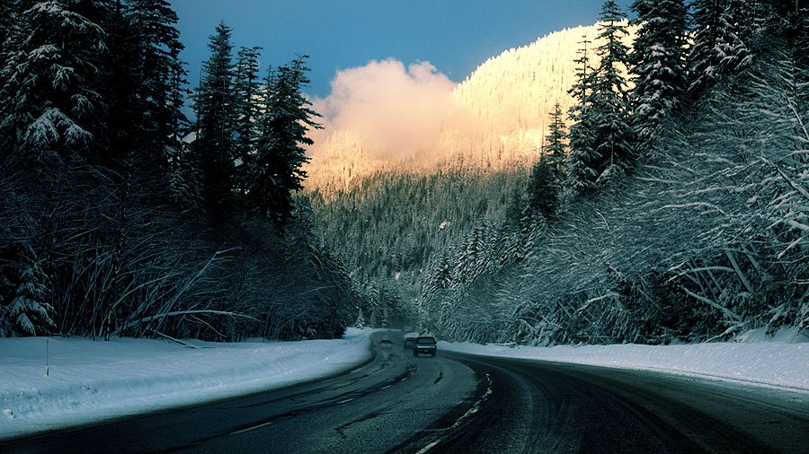
Mountain snow
The National Weather Service issued a Winter Storm Warning for the Cascades of Whatcom, Skagit, Pierce, and Lewis counties. The warning lasts through noon on Wednesday.
Snow accumulations of up to 36 inches are possible at elevations of 3,000 feet or higher. The Weather Service says to be prepared for the possibilities of road closures in the mountains, especially at Mount Baker and Paradise in Mount Rainier National Park.
Crystal Mountain opens Wednesday with three chairlifts.
“It’s really exciting,” said Tiana Anderson with Crystal Mountain Resort. “It kind of feels like Christmas Eve in a way. We wait all year for this day to come. So we’re all very excited. Things are looking really good up here.”
“Anytime we can get open before Thanksgiving is icing on the cake,” she said. “Thanksgiving is a 50 percent chance, so to get to open before then is a really good thing.”
Bond, however, does have a concern that the weather could take a turn toward warmer temperatures.
“I’m a little worried about what could happen early next week,” he said. “Early next week, we could get one of these Pineapple Express, warm rain type situations. It’s too early to tell … In the short term, the mountains are going to do great … here’s hoping we don’t have a lot of warm rain to melt that snow.”
Rainfall totals in the lowlands over the next day-and-a-half could equal 0.50 to 2 inches.
“Fairly substantial precipitation will continue Wednesday morning, probably tapering off Wednesday afternoon as the front starts making its way east of the Cascades,” the Weather Service said in a statement.