Snow set to descend on Western Washington after weekend
Jan 9, 2020, 6:26 AM | Updated: Jan 10, 2020, 3:40 pm
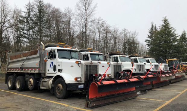
Snow plows in Olympia. (City of Olympia)
(City of Olympia)

As we get closer to the weekend, it’s becoming more and more likely Seattle will soon see its first major snow event of the winter.
The National Weather Service says a “modified arctic front” dropping down from British Columbia is set to move through the region Sunday evening, creating an environment ripe for snowfall.
Chance of January snow in Seattle continues to build
“That will open the door for the chance of snow through the middle of next week,” said the NWS in its long-term forecast.
Cold, dry weather will then arrive Monday and Tuesday, with temperatures dipping into the mid-to-low 20s.
“You thought last February was cold? This is going to be colder. In fact, we may experience the coldest temperatures in a LEAST six years,” said University of Washington Professor of Atmospheric Sciences Cliff Mass.
The last time the high temperatures in Seattle were below 30 degrees was back in February… 2014. It’ll be even colder further north, with lows in Bellingham dipping down to 15 degrees between Tuesday and Wednesday.
After that, the real fun begins. All of Western Washington could be in for “a major snow event” next Wednesday and Thursday, according to Mass.
“Very cold air will be in place and a potent weather system will be approaching our coast,” Mass outlined in a recent blog post.
Seattle lays out response plan as it braces for ‘major snow event’
A winter storm warning is in effect through Sunday for the Cascade mountains above 2,000 feet. Forecasters say 1 to 4 feet could fall in the mountains this weekend. “Travel could be very difficult to impossible,” WSDOT tweeted.