‘Atmospheric river’ to produce heavy rainfall across region
Oct 27, 2021, 9:24 AM | Updated: Oct 28, 2021, 11:26 am

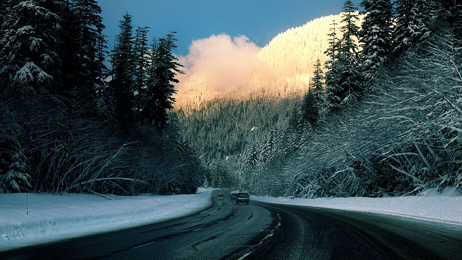
A pedestrian walks past a statue with a rain bonnet on its head in the Fremont neighborhood of Seattle, Washington. (Photo by Robert Sumner/Getty Images)
(Photo by Robert Sumner/Getty Images)

We’ll continue to see a few showers here and there, but most of us will be more dry than wet on Wednesday with most of the showers in the mountains. There could be some patchy fog early on with some isolated drizzle. Highs today will be in the mid-50s with mostly cloudy skies. Expect increasing clouds this afternoon with some rain coming in early this evening.
Update: ‘Atmospheric river’ bringing heavy rainfall, increasing threat of urban flooding, mudslides
An atmospheric river — a plume of very rich moisture coming from the southwest across the Pacific, north of Hawaii — will produce copious rainfall Thursday across the area. The Olympic Peninsula and coast and the northern half of the Western Washington interior, mainly along and north of Interstate 90, are in line for the heavier rainfall.
Rainfall amounts of 1-2 inches are expected around Puget Sound from Wednesday night through Thursday, with isolated higher amounts. This will lead to some urban flooding where any storm drains are clogged, something we will have to contend with until the leaves are all gone.
In the mountains, 2-5 inches of rain will fall, with snow levels way up above 7,000 feet, so no snow at the passes. In fact, some locations in the Olympic Mountains and north Cascades could receive even more rain, pushing rivers to near flood-stage by Thursday night.
The Skokomish River in Mason County, our most flood-prone river, is already in minor flood stage and will reach moderate flood stage on Thursday. The rivers flowing out of the central and north Cascades from I-90 north, including the Snoqualmie River, have a decent chance of reaching minor flood stage for the first time this season late Thursday or Thursday night.
This is not looking like a major flooding event, as the atmospheric river will quickly move south Thursday night into Friday, but will still be a good soaker.
Winds on Thursday will have gusts in the 20-35 mph range with isolated gusts to 40 mph. No watches, warnings, or advisories for wind are expected, as these wind speeds are pretty typical of stormy days in October.
We’ll quickly see rain move south away from the area Friday morning, and by Friday afternoon, we could be drying out as high pressure aloft builds.
The upcoming weekend, including Halloween, looks to be very nice with more sunshine after morning fog or low clouds. Highs will be in the 50s through the next week, though over the weekend, morning lows will be chilly in the 30s.
Weather into early next week looks pretty quiet, so we just have to get past this one last bout of heavy rain Thursday before smoother sailing for a while.
Written by KIRO 7 meteorologist Nick Allard