‘Pacific Highway of storm systems’ rolling in
Sep 28, 2017, 3:36 PM | Updated: 3:36 pm
(File, Zach Davies)
(File, Zach Davies)

A surprise summer-like few days helped us forget about the impending fall weather that will become more apparent as we head into next week.
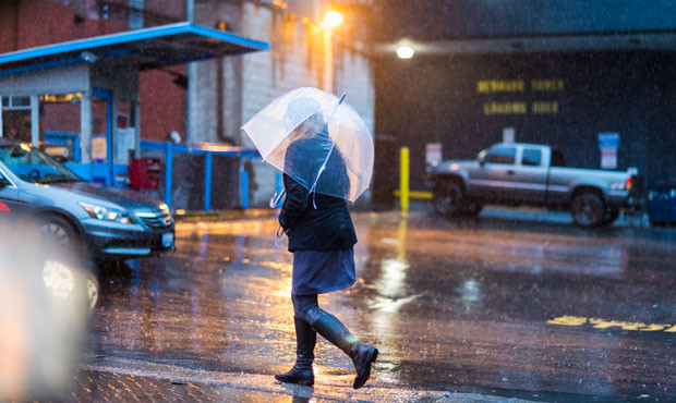
KIRO 7 Meteorologist Nick Allard says the rain will return Friday as temperatures drop to the mid- to high-60s as a cold front rolls in.
By Monday, an even bigger system will remind you it’s fall, Allard told Seattle’s Morning News. He called it the “Pacific Highway of storm systems,” meaning the wet weather will keep driving through.
The reason for what the National Weather Service called “unusual” warm days was caused by a ridge of high pressure over the West Coast, according to Cliff Mass. Though 80-degree days in September are unusual, they are not exceptional, according to the Weather Service.
Mass writes, “everything changes on Friday as the ridge is replaced by an approaching trough.” That trough will continue for about two weeks.
“And then it becomes too late for sustained real warmth (75F and more) as the days shorten and the sun weakens,” he continued.
Expect rain and cold temps until July 5, 2018.