Chance of light snow across Puget Sound remains as cold weather sets in
Nov 25, 2019, 9:19 AM | Updated: Nov 26, 2019, 6:32 am
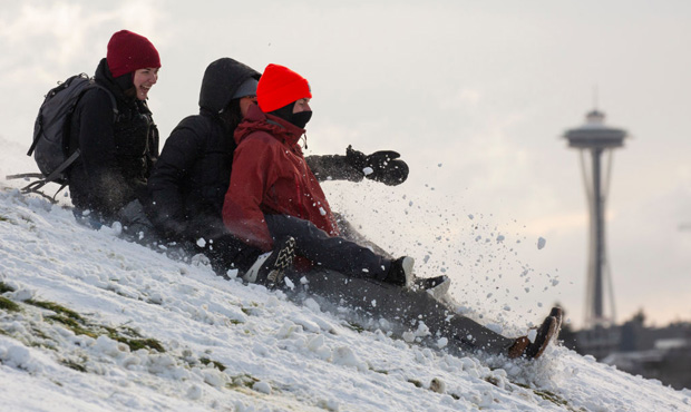
(David Ryder/Getty Images)
(David Ryder/Getty Images)

As the possibility of a snowy Thanksgiving remains up in the air in the Seattle area, it’s currently dumping snow in Western Washington’s mountain passes.
Forecasters weigh in on chances of Thanksgiving snowfall in Seattle
As weather worsens across the Cascades, “several more inches of snow accumulation” was seen early in the week at both Stevens and Snoqualmie Pass.
Snow levels in the mountains will likely lower from 2,000 to 1,000 feet leading into Tuesday night, with an additional 2-4 inches falling at pass level.
In the lowlands, things are a bit more uncertain in terms of what we can expect for the Thanksgiving holiday. While large-scale snowfall isn’t expected in the Seattle area, there’s still a chance for a rain/snow mix to fall headed into late Tuesday.
“The odds of IMPACTFUL snow are close to zero, but snowflakes are possible (with rain),” said Seattle Weather Blog’s Justin Shaw.
That being so, what’s known as a convergence zone could bring “a localized band of heavy snow with light accumulation,” the NWS notes.
That will be followed by dry, cold weather starting Wednesday and extending into the weekend. Highs during that period will sit in the mid-to-upper 30s, while lows will dip all the way into the mid-to-low 20s.
The NWS’s forecast for the week also says there’s a small chance of a rain/snow mix late on Saturday, although that prediction comes with a “low confidence” label.
This could all change as the weeks goes on, with snowfall being notoriously difficult to predict, especially in the Puget Sound region.
“Pinpointing exactly when/where lowland accumulations will occur is extremely difficult due to the hit/miss nature of the showers,” said the NWS.
And while widespread, significant snowfall isn’t expected in the lowlands, rain/snow mixes are still expected to arrive at some point before things dry out Wednesday.