Red flag warning issued for Western WA as thunderstorms increase risk of wildfire
Aug 10, 2022, 10:18 AM | Updated: Jun 6, 2023, 7:56 am
(Photo by George Rose/Getty Images)
(Photo by George Rose/Getty Images)
A Red Flag Warning has been issued for Western Washington Wednesday, Aug. 10, with dry weather and the possibility of thunderstorms increasing the risk of wildfires in the area.
Issued by the National Weather Service, the warning means that the area is in critical fire condition that is either imminent or actively occurring and will be in effect until 11 p.m.
‘Nature’s air-conditioning’ brings cooler weather after record breaking heat
After six days of record-breaking heat at the end of July, and another heat wave this past weekend, grass and other vegetation are much drier than normal for Western Washington.
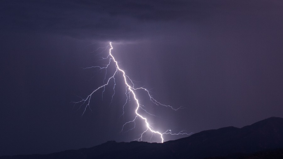
“Scattered lightning in dry fuels can cause multiple fire starts,” the National Weather Service said. “Thunderstorms can also bring sudden sharp wind shifts on existing fires, causing rapid changes in a fire’s rate and direction of spread. Thunderstorm outflow winds can be a threat for several hours following the start of a new lightning-caused fire. If a fire were to begin, air quality may diminish in the surrounding area.”
KIRO Newsradio meteorologist Ted Buehner says that the cause of the thunderstorms is a weak upper low-pressure front just off the Pacific NW coast that is tracking northward, with plenty of thunderstorms and lightning just off the coast.
We are watching storm activity pick up in the southeast part of our forecast area. This trend will likely continue, but this will be a day where your mPing reports would be very helpful! Let us know what you’re seeing! #wawx pic.twitter.com/OgNK1SMIaG
— NWS Seattle (@NWSSeattle) August 10, 2022
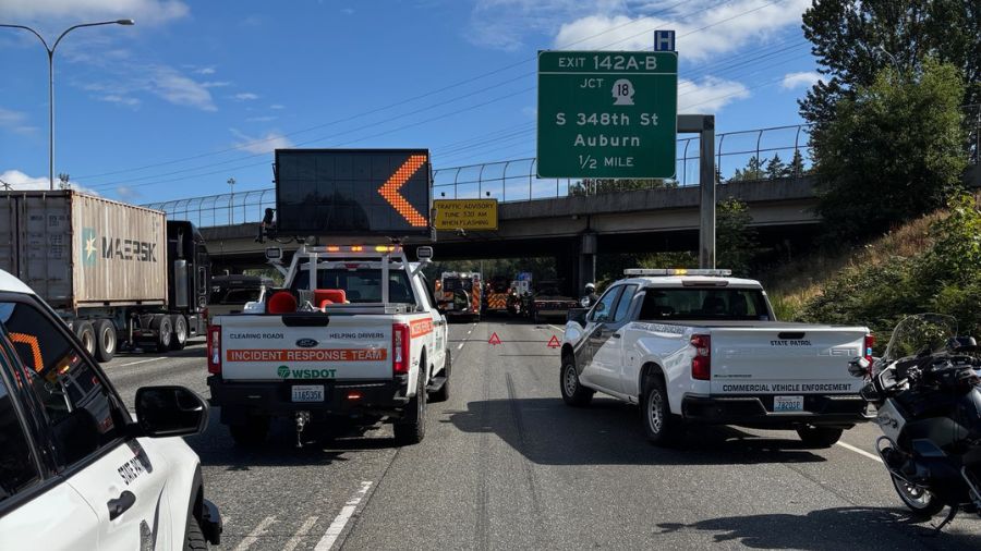
In addition to the risk of fires, in Tacoma nearly 10,000 customers were without power due to the thunderstorms, Tacoma Public Utilities reported at 9:50 a.m. The heaviest-hit appear to be areas east and north of Tacoma.