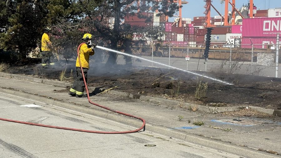
Western Washington faces ‘critical fire conditions’ to start week
Sep 7, 2020, 9:25 AM | Updated: 9:52 pm
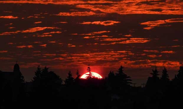
Vibrant sunsets from smoke are not all uncommon in the Northwest.(National Weather Service)
(National Weather Service)

Historic weather conditions in Western Washington beginning on Labor Day could rapidly spread wildfires throughout the region.
Up until recently, the main concern has been over relatively dry conditions, with a notable lack of precipitation in recent weeks. Beginning Monday, those concerns have shifted.
“An east wind event is our most critical fire weather pattern for Western Washington, and is usually the culprit for large fires — very strong, very fast moving,” Department of Natural Resources meteorologist Josh Clark told KIRO Radio. “It’s going to rapidly intensify those winds come Monday.”
Those winds allow wildfires to spread quickly in dry areas, as we’ve seen with a 118-square-foot fire in Yakima County, which is now 60% contained. That fire began last Monday, driven southeast by high winds in the roughly 40-mile stretch between Ellensburg and Naches.
A second fire in Okanogan County has already burned approximately 14 square miles, with 60 homes near Cameron Lake in Okanogan and Douglas counties ordered to evacuate Monday morning.
For both of those wildfires, there are concerns that increasing winds over the next 48 hours could make it difficult to contain them.
“Easterly winds will increase across the Cascade gaps (Monday) afternoon, peaking tonight through Tuesday morning,” the National Weather Service warns. “Hot, dry, and windy conditions will combine to create critical fire conditions across much of the region.”
There’s a whole lot of individual air quality monitors showing unhealthy conditions, which could last into tomorrow. If poor air quality impacts you and you don’t have to leave, just stay home. #WAWildfires #WaWILDFIRE
See the monitors: https://t.co/Mew2KJkSC0 pic.twitter.com/O4Wui0HNEt
— WA Emergency Management 😷 (@waEMD) September 8, 2020
An off-duty forecaster sent us this pic from Lake Washington this evening, he says the smoke is increasing by the minute! pic.twitter.com/lHBRq5ACTr
— NWS Seattle (@NWSSeattle) September 8, 2020
Smoke arrives. #wawx A short animation of satellite images late this afternoon (as downloaded from the excellent CIRA website–the Cooperative Institute for Research in the Atmosphere, in partnership with NOAA and Colorado State University). pic.twitter.com/2EmPJm5uaZ
— NWS Seattle (@NWSSeattle) September 8, 2020
The West from space late this Labor Day afternoon pic.twitter.com/lWapPtclAx
— NWS Seattle (@NWSSeattle) September 8, 2020
That being so, local authorities are advising people to avoid setting campfires, or “any activity that could create a spark.”