Winter storm to blow through western Washington Monday night
Jan 5, 2026, 5:22 PM

A person drives under downed trees and power lines near Kenmore, Washington. (Photo: Cole Porter, Getty Images)
(Photo: Cole Porter, Getty Images)
Grab your flashlight and charge your devices.
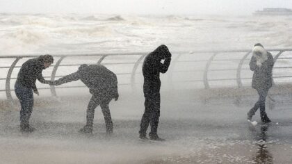
A winter storm is going to blow through western Washington Monday night and Tuesday, bringing wet, windy weather to the lowlands.
National Weather Service Meteorologist Kayla Mazurkiewicz said it’ll be windy in the greater Seattle area, with winds peaking Tuesday morning.
“We’re seeing gusts up to 40 to 45 miles per hour, and especially in those wind advisory areas like western Whatcom County and Whidbey Island, we could see gusts up to 50 miles an hour,” Mazurkiewicz explained.
She said the risk of trees coming down, due to the windy weather, is less than it was during the storms late last year, when an atmospheric river soaked the ground.
“During that time, the ground was so saturated from the atmospheric rivers that we’ve gotten and all the precip we’ve gotten. So we have been definitely drier than that. But I wouldn’t say the risk is zero at that, but definitely lower than it was, for sure,” Mazurkiewicz said.
RELATED STORIES


Storm forecast to bring up to 4 feet of snow in mountains
The storm is forecast to bring up to 4 feet of snow in parts of the mountains.
“I would say anywhere from 2 to 4 feet. The 4 feet we could probably see at Mt. Baker, Paradise. Into the passes, you could see maybe 2 feet, maybe 3 feet. Right now, we’re seeing snow rates approach one inch per hour during this time,” Mazurkiewicz said.
A winter storm warning is in effect from 4 a.m. Tuesday until 4 p.m. Thursday.
Read more of Heather Bosch’s stories here.
Follow @http://www.twitter.com/heatherbosch