Heavy Cascade snowfall this week brings major travel impacts over I-90 and White Pass
Jan 6, 2026, 5:00 AM | Updated: 3:36 pm

Snow being cleared on I-90. (Photo courtesy of KIRO 7)
(Photo courtesy of KIRO 7)
For mountain skiers and snow enthusiasts, there is good news this week. For motorists with plans to cross the Cascades on I-90 or US 12, White Pass, the news is not good. (US 2, Stevens Pass Highway remains closed for cross-Cascade travel)
A parade of weather systems is forecast to swing through western Washington this week. In the Cascades, two to four feet of fresh snow is anticipated to fall Tuesday through Thursday, adding to the totals that have fallen since the latter part of December.
The heaviest amount of new snow is expected to fall during the period of Tuesday afternoon through Wednesday morning. Motorists should anticipate winter weather driving conditions with snow on the road. Per state law, ensure chains are handy and be ready to use them if conditions warrant and signage is posted.
Snow levels will be below all the mountain highway passes, ranging from 2,000 to 3,000 feet. By Thursday morning, snow levels are expected to drop close to 1,000 feet, meaning the Cascade foothills and other higher terrain west of the Cascades may see some accumulating snow.
For those heading into the Cascades and Olympics to enjoy the fresh snow, be sure to check the latest avalanche forecast information. The new snow has the potential to create local hazardous conditions in the backcountry.
RELATED STORIES


Western Washington weather this week
For Western Washington, rain is forecast to develop Tuesday morning and turn to showers by Tuesday evening. Showers will continue Wednesday and Thursday. Total rain amounts during this time period are expected to range from one to two inches across much of western Washington.
High temperatures will be a bit cooler than average, with highs in the lower to mid-40s. Lows are anticipated to be mainly in the 30s. The average high temperature for early to mid-January is in the upper 40s, with average lows in the mid and upper 30s.
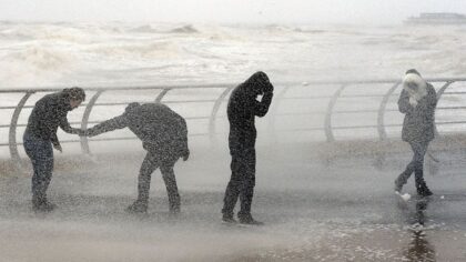
The weather system on Tuesday is also expected to generate windy conditions. Most areas of western Washington could see gusts of 35-45 mph. But in the north interior from about Whidbey Island north to the Canadian border, those southerly wind gusts could reach 50 mph or so. Local power outages are possible.
Current mountain snow amounts below average
After all the wet mild weather during much of December, with high snow levels above 6,000 feet, the mountains could use the additional snow this week. Snow has been accumulating since the latter part of December, but amounts are behind average.
Of the Northwest Avalanche Center reporting sites, Mt. Baker has the greatest amount, with around 5 feet on the ground. From Stevens Pass south to White Pass, snow amounts range from three to four feet. This snowpack is running from 45-60% of average for this time of year.
The amount of water in the current mountain snowpack is also below average. The North Cascades are close to average at about 100% of normal. But the rest of the Cascades and the Olympics are ranging from 40-50% of normal for early January, according to the Natural Resources Conservation Service.

This weekend and next week
The latest extended weather outlook is not promising for additional mountain snow. Higher pressure aloft is forecast to build over the Pacific Northwest starting this weekend, bringing drier conditions, with warmer and even drier weather moving into next week. Western Washington temperatures are expected to rise above 50 degrees, and mountain freezing levels are expected to rise above the passes.
When will western Washington get snow?
For those who want snow in their backyard, the milder, drier weather than usual is likely to hang on until at least mid-January. Yet, this is a La Niña winter season. During these seasons, the lowlands of Western Washington often get some snow. Last winter was also a La Niña winter, and it took until early February for snow to blanket much of Western Washington.
Usually, January is when western Washington lowland snow occurs most often. Perhaps the latter part of January or into early February, like last year, is when the weather pattern will turn colder, giving the opportunity for snow.
Weather forecasters will be keeping a close eye on whether or not that colder weather pattern will unfold. Until then, stay tuned and always be prepared for snowy winter weather conditions.
Ted Buehner is the KIRO Newsradio meteorologist. Follow him on X and Bluesky. Read more of his stories here.