Drivers on Cascade highways should prepare for snow and slick roads this week
Oct 27, 2026, 11:32 AM | Updated: 4:05 pm
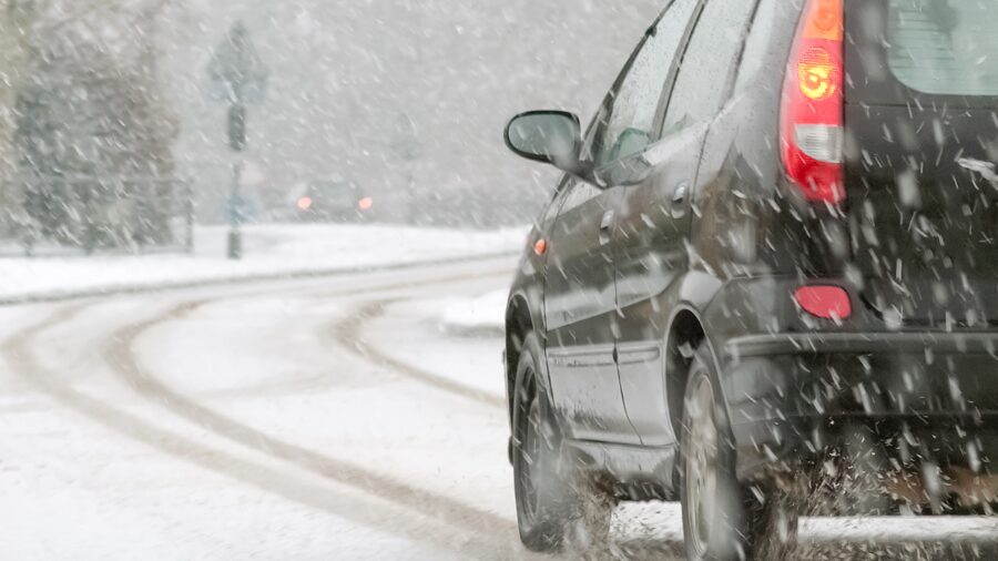
A car drives on a road covered in snow. (Photo: nelsonart via Envato)
(Photo: nelsonart via Envato)
A cool Pacific weather system sagging southward along the British Columbia coast is forecast to move just off the Washington coast by Wednesday.
This system is expected to spread showers and cool temperatures across western Washington Tuesday night through Wednesday.
For the mountains, this weather system will offer the season’s first significant snowfall. Snow levels are anticipated to fall to 4,500 feet Tuesday night and continue down to 3,500 feet by Wednesday night.
RELATED STORIES
Snow could make Stevens, White and Snoqualmie passes slick
Snow accumulations above the snow level are expected to range from 4 to 8 inches of new snow. Higher Cascade highways, such as those through Stevens and White passes, will see snow on the pavement for the first time this fall, potentially creating slick driving conditions.
Motorists traveling over Snoqualmie Pass on I-90 may see snowflakes on the windshield and should also be prepared for the snow to stick on the roadway Wednesday night into Thursday.
The Washington State Department of Transportation (WSDOT) crews are expected to begin working on the mountain pass highways as this initial winter weather system arrives. Authorities ask mountain pass motorists to use caution and slow down when winter weather driving conditions arise. The latest road conditions will be available by calling 511 or on the WSDOT app.
Ted Buehner is the KIRO Newsradio meteorologist. Follow him on X and Bluesky. Read more of his stories here.