A few days of smoky, hot weather ahead
Aug 7, 2018, 7:41 AM | Updated: 5:01 pm
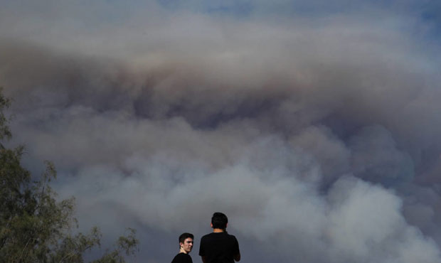
Two people watch as smoke from a wildfire burning near the Holy Jim area rises in the distance in Lake Forest, Calif. The air quality around Puget Sound will degrade over the next few days due to several large fires on the West Coast. (AP Photo/Jae C. Hong)
(AP Photo/Jae C. Hong)
The heat won’t stick around for nearly as long as it did last time during the coming days, but the air quality will likely be worse in Western Washington.
RELATED: The smoke we’re seeing isn’t just from the West Coast
Highs around Seattle will hit the low 90s Wednesday and Thursday. But it’s wildfire smoke that may be more worrisome.
“A ridge of high pressure over our area and a flow aloft out of the southwest will help to import a little more smoke from fires to our south in Oregon and California,” National Weather Service Meteorologist Dustin Guy says. “A lot of smoke is aloft, but eventually over time it could effective air quality.”
Much of the air quality around Puget Sound remained in the “good” category as of early Tuesday morning, according to the Puget Sound Clean Air Agency. We could see that worsen to “moderate” by Wednesday or Thursday.
The good news is that a weather system is expected to move in Friday into Saturday, cooling things down a bit and pushing out some of the smoke. We may even get a small amount of rain, according to Guy.
Some places could see a 20-degree drop from Thursday into Friday, with temperatures back in the low 70s.
Red Flag Warning
A Red Flag Warning has been issued for much of the Cascades starting Tuesday morning through Thursday evening.
The Weather Service is warning of hot, dry conditions in which fires can easily start. Any fires that do develop will spread quickly.
Sick of the heat?Just wait! Big cool down on the way for the end of the week! A few showers not of the question either. #wawx pic.twitter.com/V8G25HGgGq
— NWS Seattle (@NWSSeattle) August 8, 2018
Follow @http://twitter.com/Mynorthwest