Snow moves down into King, Pierce counties as temperatures plummet
Feb 22, 2022, 5:19 AM | Updated: 3:14 pm
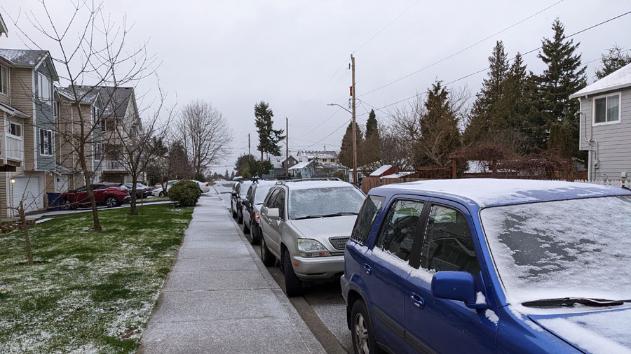
Snow in South King County. (MyNorthwest photo)
(MyNorthwest photo)
On Monday, snow blanketed the North Sound. Overnight into Tuesday, the snow moved further south, with residents in King and Pierce counties waking up to their own layer of snowfall.
Parts of Seattle were surprised by the trace of snow overnight, but local meteorologists tell KIRO Newsradio that should be the end of it for this latest round of winter weather.
The National Weather Service had a Winter Weather Advisory in place until 4 a.m. Tuesday, spanning the eastern lowlands of Snohomish, King, and Pierce counties. Between 2-4 inches of snow was reported up and down that corridor, including in Redmond, Woodinville, Bellevue, Seattle, and Kent.
Stanwood, Morton, and Eatonville school districts all started two hours late.
Check school closures and delays
While the bulk of the snow tapered off in the early morning hours, intermittent pockets have continued to fall in some areas Tuesday.
Next up? “The transition to dry and very cold has begun,” NWS says.
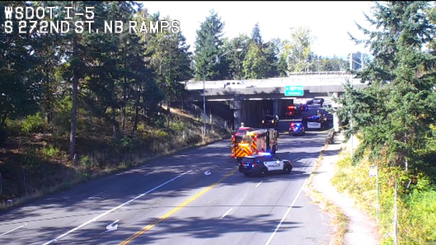
Temperatures in most of the region were sitting in the upper 20s and low 30s to start the morning, increasing the risk of black ice and slick surfaces. Drivers were told to exercise caution, and take extra time if necessary to commute safely.
Be careful outside this morning! Surfaces could be icy!
It is also going to be a chilly one today! Highs in the mid 30s for most of W WA. We apologize to the areas experiencing Fraser River outflow, you will likely only see low 30s. #wawx pic.twitter.com/bk0d0gn4r5
— NWS Seattle (@NWSSeattle) February 22, 2022
It will get even colder on Wednesday morning, with temperatures in the Seattle area potentially plummeting into the low 20s, and even the teens in areas situated away from bodies of water. Thursday will start with temperatures in the 20s, before warming into the 40s and remaining around there for the weekend.
Dr. Mary Butwin, meteorologist with the National Weather Service, told KIRO Newsradio that frigid weather hanging around our region is coming from Canada.
“We have cold air coming in from Canada, which is keeping our temperatures below normal, especially in the northern portions of Western Washington,” Butwin said.
Butwin added that this freeze comes with high winds, particularly in Whatcom and Island counties and through the Strait of Juan de Fuca.
Follow @http://twitter.com/Mynorthwest