Snow falls across Puget Sound
Feb 15, 2018, 8:39 AM | Updated: Feb 18, 2018, 7:13 pm

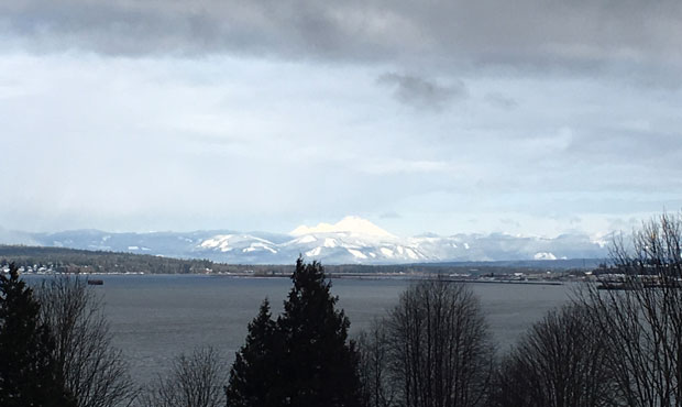
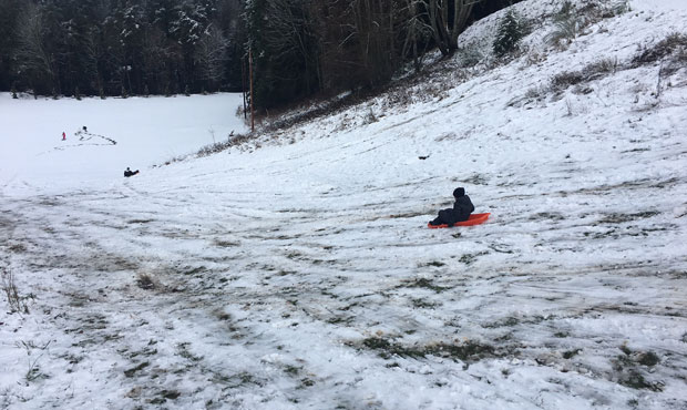


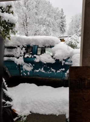
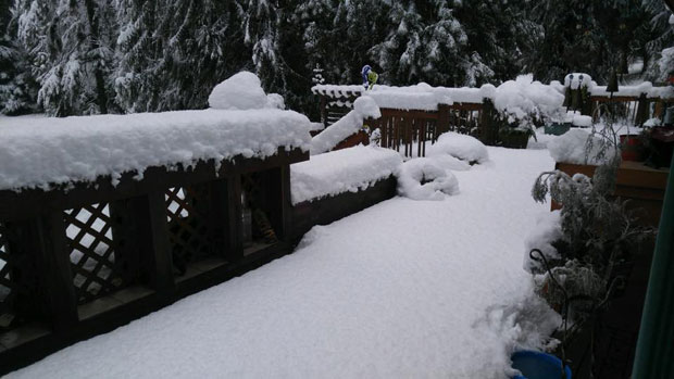
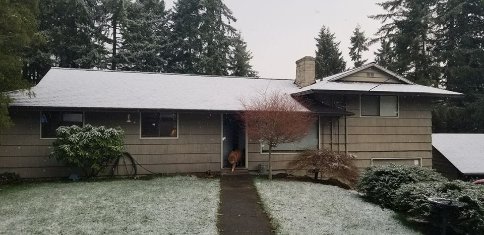
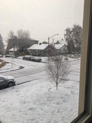
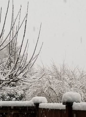
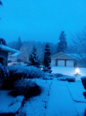
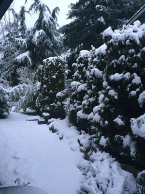
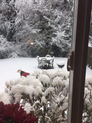
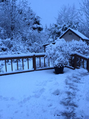
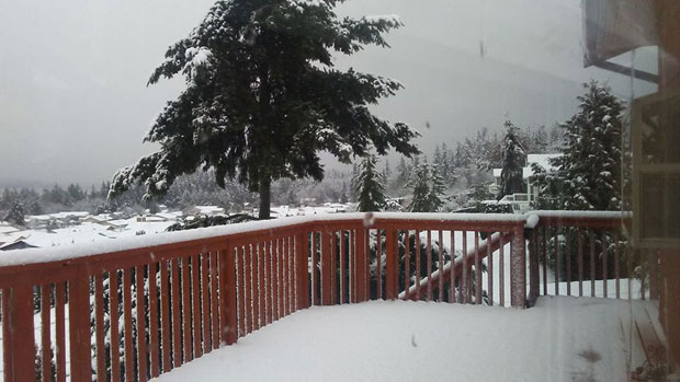
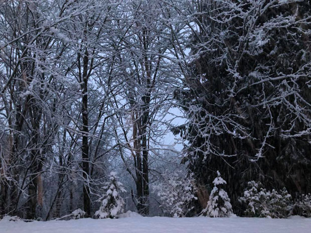
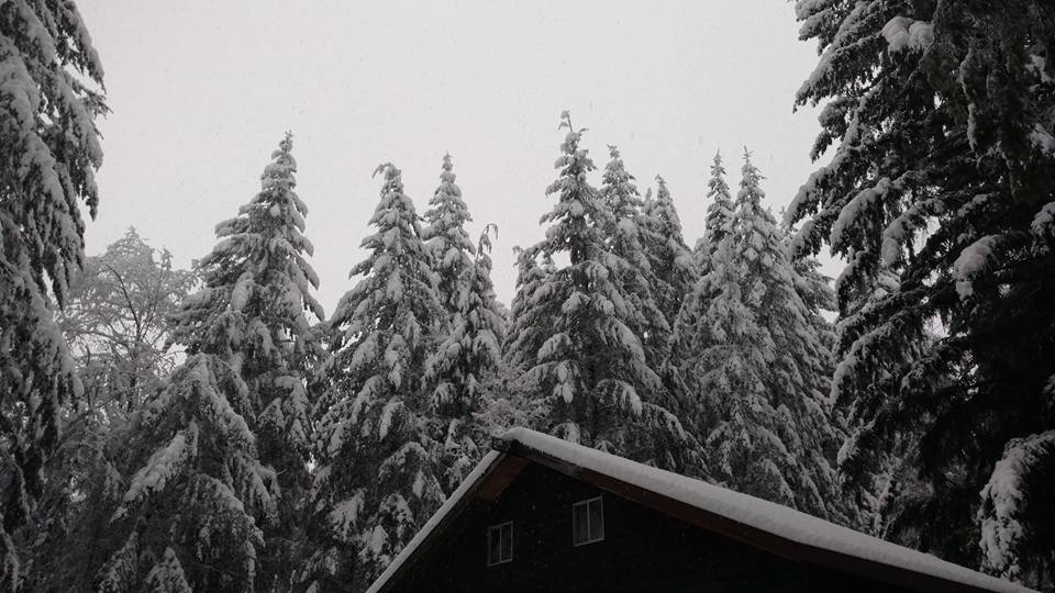
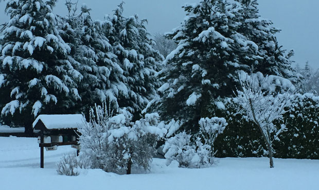
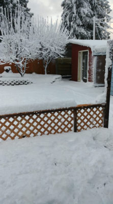
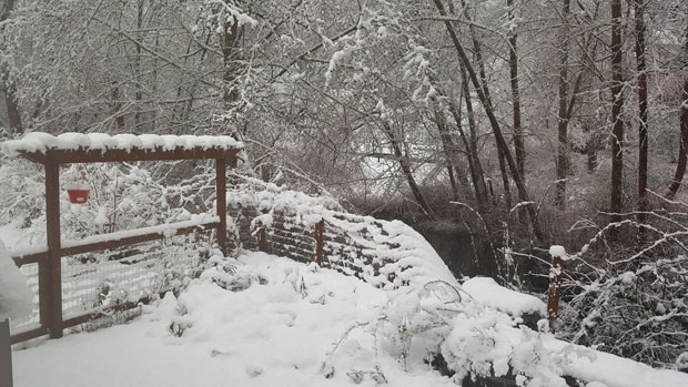
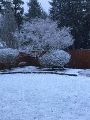
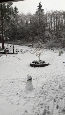
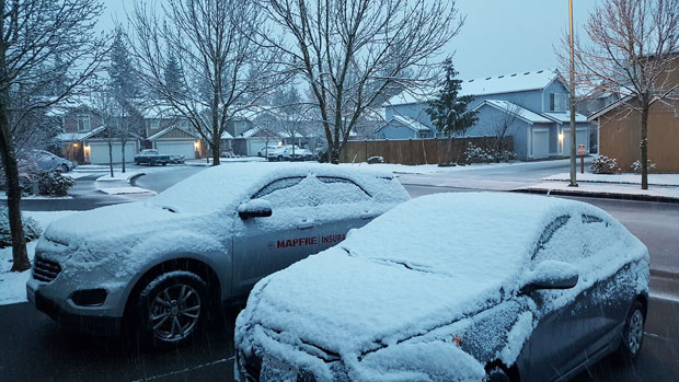
As forecasted last week, the Puget Sound area woke up Sunday to snow. That before wind and cold temperatures move in over the area.
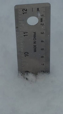
Snow fell in Pierce, King, Snohomish, Skagit, Island, and Thurston counties on Sunday with accumulation ranging from a trace to nine inches. Areas in northern Snohomish County received 6 inches or more of snow.
In addition to snow, forecasters issued a Wind Advisory in effect until midnight for San Juan County with gusts up to 50 mph. Strong winds could topple small trees and knock out power. Wind and cold temperatures will combine for a wind chill in the teens to lower 20s.
Check current traffic conditions
In the Cascades, snow fell most of the day. Intense winds blew snow drifts in higher elevations. Stevens Pass ski resort reported eight new inches of snow at the base in the past 48 hours. Summit West at the Summit at Snoqualmie reported 16 new inches of snow in the past 48 hours.
Washington mountain pass webcams
By Monday, the precipitation is expected to move out and we might even get some sunshine, says KIRO 7 Meteorologist Nick Allard. But the National Weather Service says, “Monday night could be the coldest night so far this winter.” It’s recommended homeowners wrap pipes and protect plants from freezing temps.
Bookmark the school closings page
Follow @http://twitter.com/Mynorthwest