Electricity may be off until Thursday night for some PSE customers
Feb 6, 2017, 12:40 PM | Updated: Feb 7, 2017, 11:34 pm
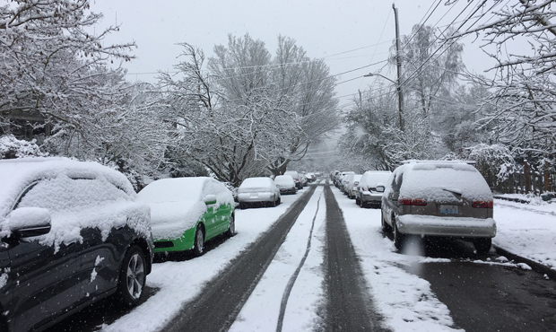
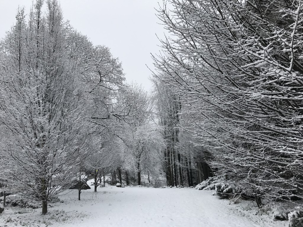
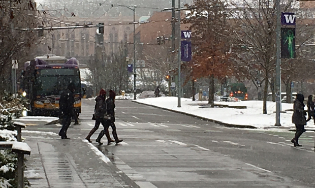
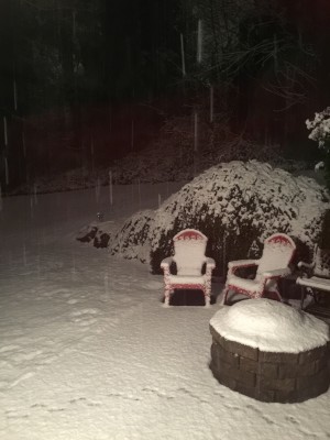
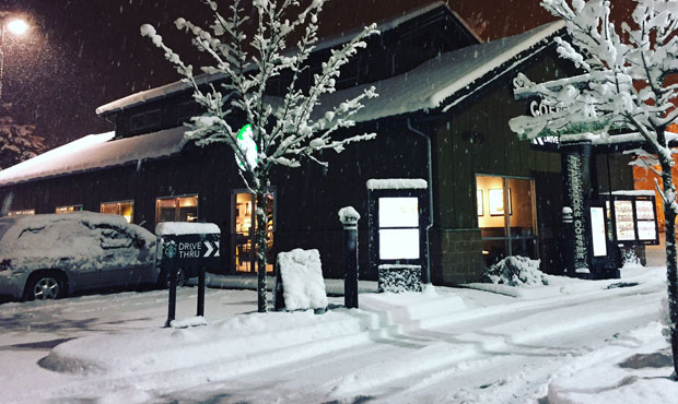
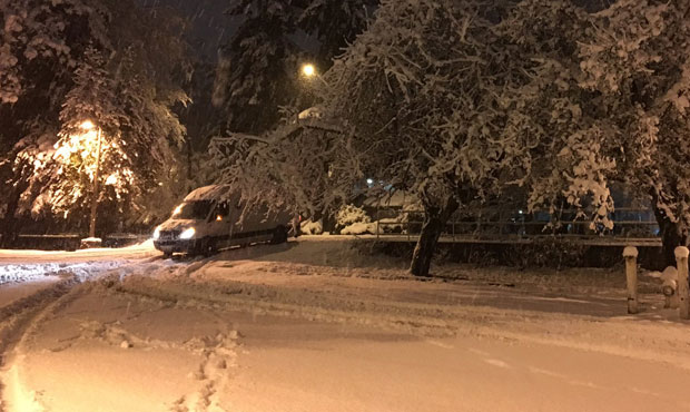
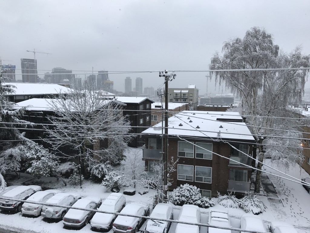
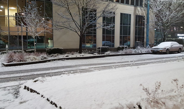
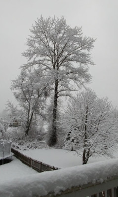
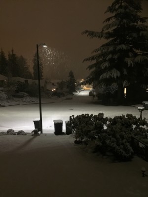
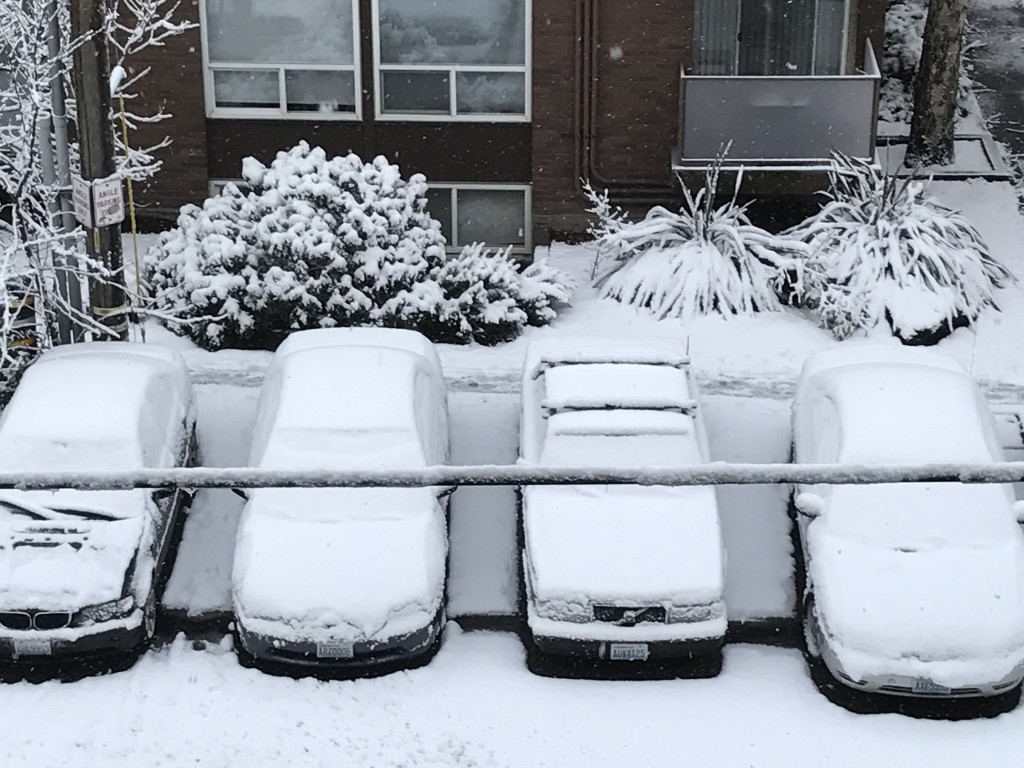
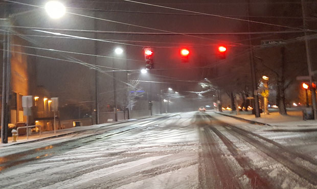
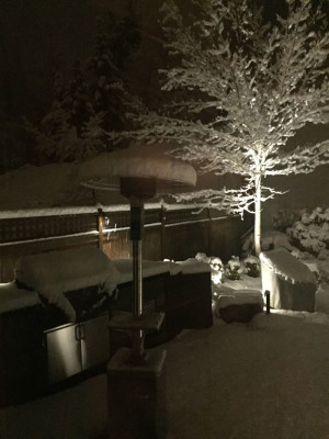
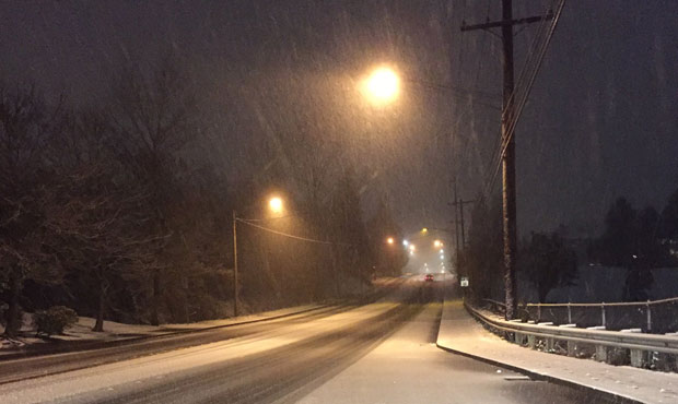
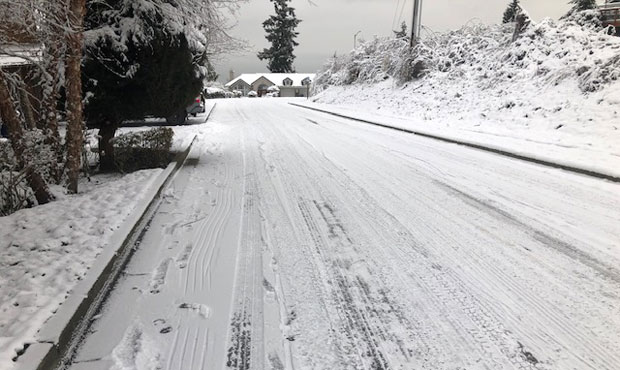
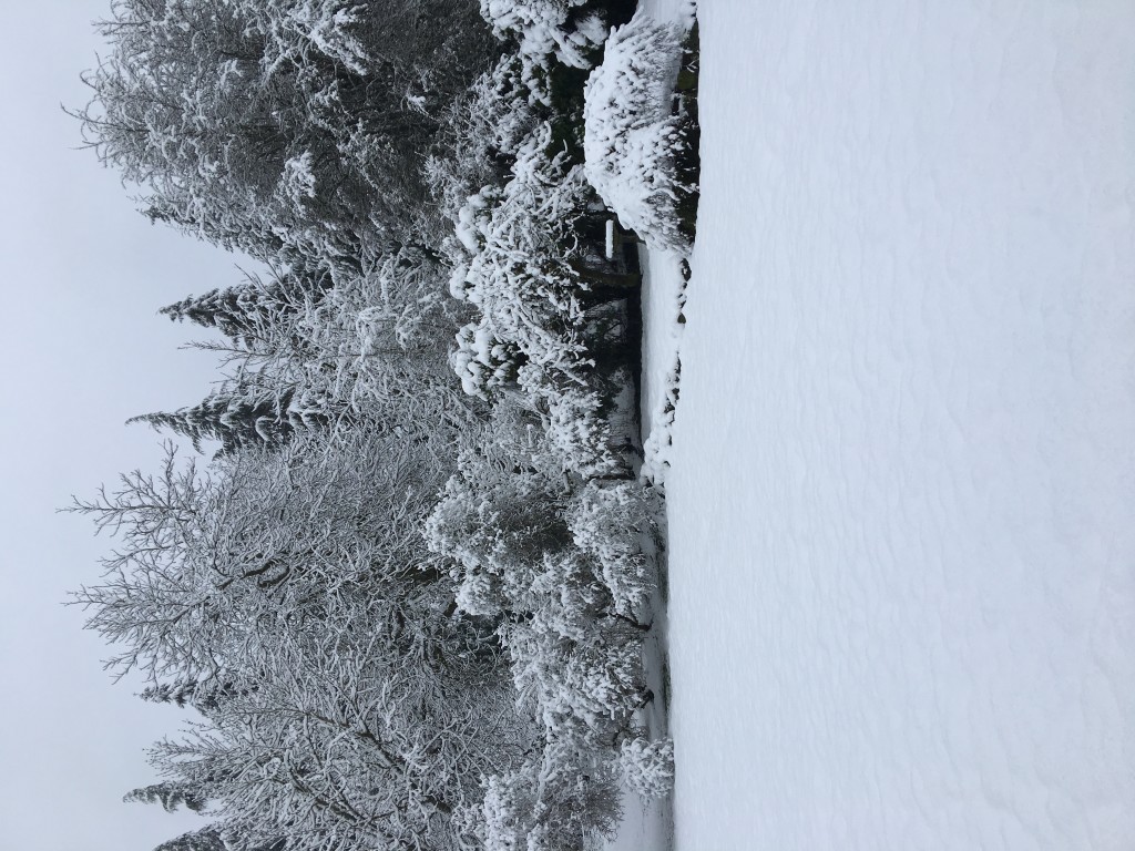
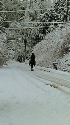
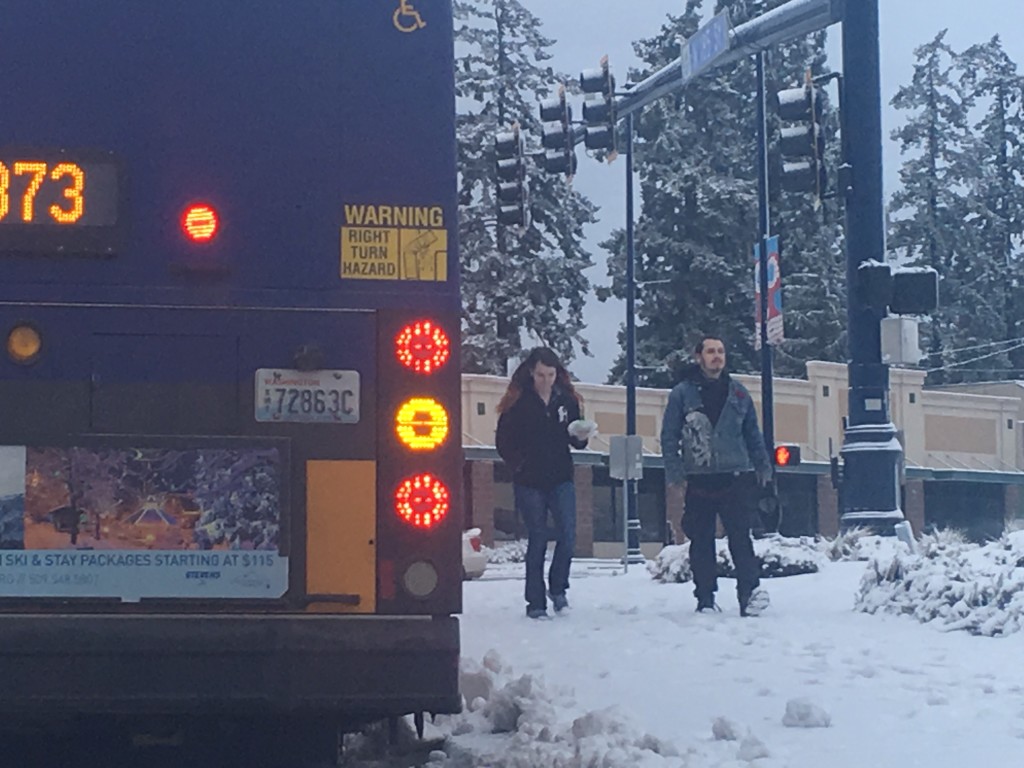
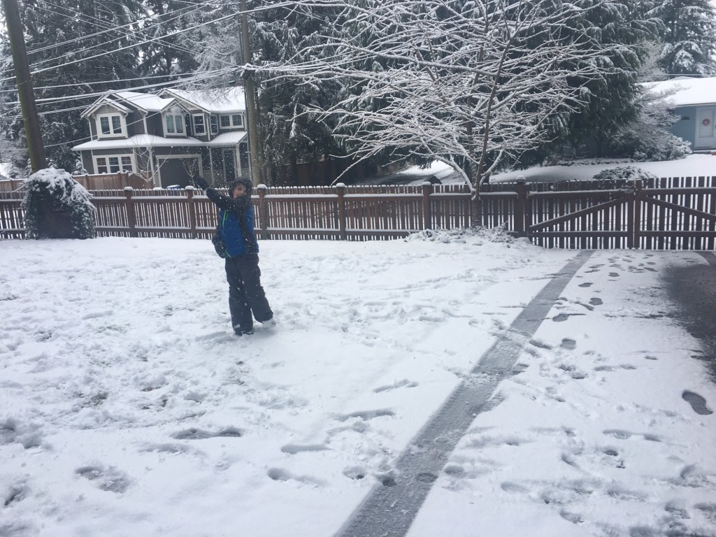
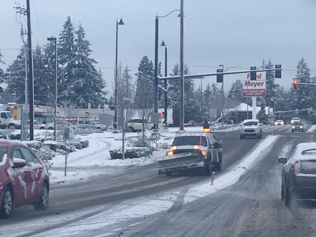
Many electricity customers are still without power after a snowstorm blew across the Puget Sound region Monday night.
Power outages after the snow
Puget Sound Energy there will be isolated areas where customers will have power out until the times listed below:
Pierce County: Tuesday, Feb. 7, 11:59 p.m.
Thurston County: Tuesday, Feb. 7, 10 p.m.
South King County: Thursday, Feb. 9, noon
Kitsap County: Thursday, Feb. 9, 11:59 p.m.
North King County: Thursday, Feb. 9, 8 p.m.
PSE said on Tuesday evening that ice formed in the morning and made many side streets and neighborhoods dangerous and created additional damage to equipment.
Christina Donegan with Puget Sound Energy said places such as Auburn, Bellevue, and Gig Harbor got hit the hardest for the outage.
Since the storm began, power has been restored to more than 249,000 customers. As crews finish work in one area they will be reassigned to assist in another area.
Monday morning updates
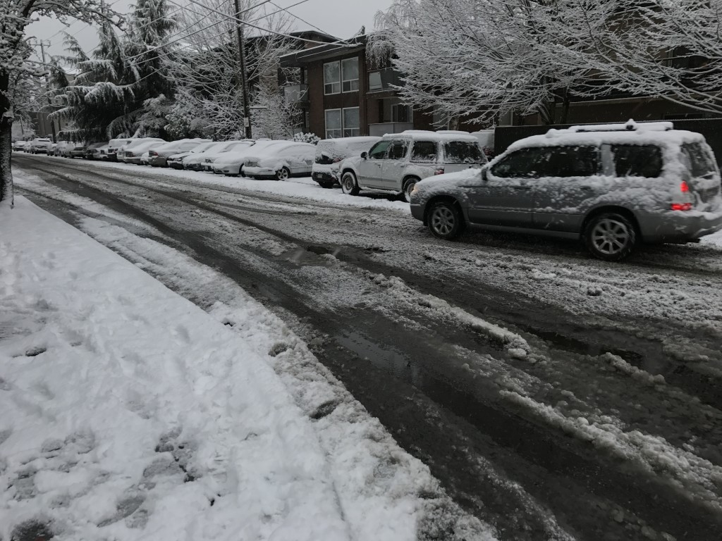
The snow around Seattle is letting up and the temperatures are warming, but that’s causing some big problems as the slush downs trees and power lines around the area.
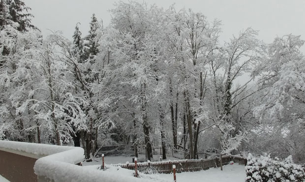
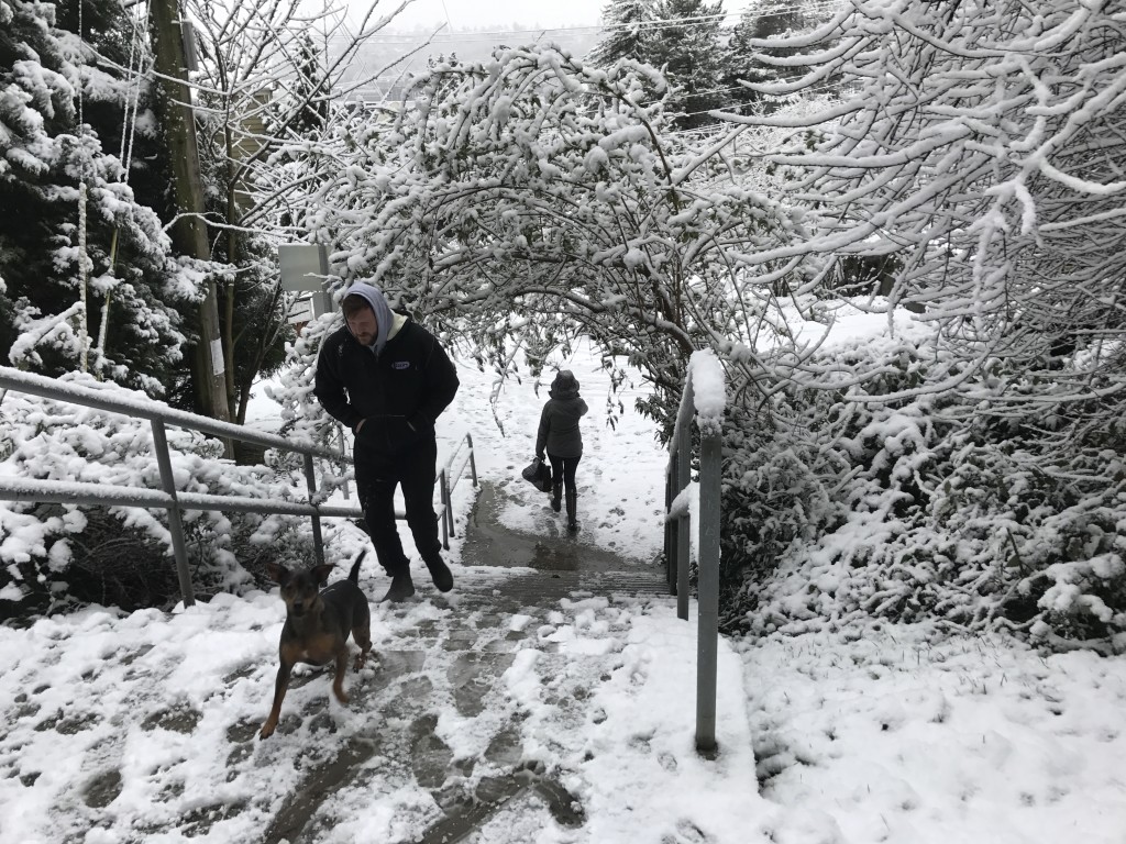
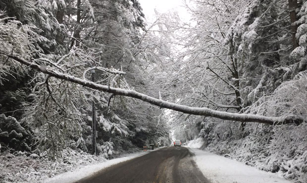
Eight inches or more of wet, heavy blanketed the hills around Bellevue. The weight is too much for tree limbs and power lines, snapping a number of them.
Power is out for thousands as crews deal with the broken poles and downed lines, and there’s no word when service will be fully restored.
10:30 a.m. After a brief pause in the weather, snow began falling again in Seattle.
On the Eastside, KIRO Radio’s Josh Kerns reports the snow tapered off. However, another band is likely headed toward the area that is already dealing with widespread outages.
10 a.m. Reports of many trees down in Bellevue, causing widespread power outages.
SE Newport Way, at 142nd Place SE, and also from 156th to 158th Ave. SE, remains closed due to downed power lines. Avoid the area pic.twitter.com/xYdZaO5b2n
— Bellevue, Washington (@bellevuewa) February 6, 2017
While much of Bellevue got 2-4 inches of snow, higher elevations received more. This shot was taken near Somerset Elementary School. @BvuePD pic.twitter.com/7xMRfYZWs5
— Bellevue, Washington (@bellevuewa) February 6, 2017
9:30 a.m. Between 1 to 7 inches of snow was recorded in Seattle, depending on the elevation, according to the National Weather Service.
9 a.m. Reports of trees down across the region. Thousands without power.
Puget Sound Energy reports 101,525 customers are without power. Seattle City Light reports 11,562 customers without power.
8:40 a.m. The Washington State Patrol warns drivers that abandoned vehicles may be impounded for safety reasons.
Good advice from our State Patrol friends. https://t.co/Ezriu0xdXw
— Washington State DOT (@wsdot) February 6, 2017
Outage update: Puget Sound Energy is now reporting 83,602 customers without power. Seattle City Light has 14,200 customers without power.
8:20 a.m. School districts across the state are shutting down due to the storm.
8:10 The National Weather Service says the steady snow showers should stop “soon.” However, some areas can expect a few more inches of snow through the afternoon.
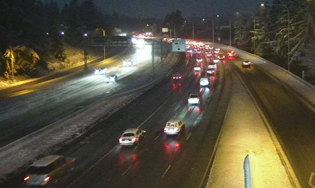
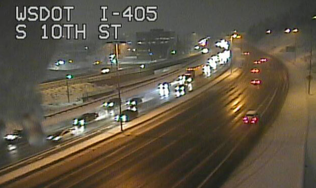
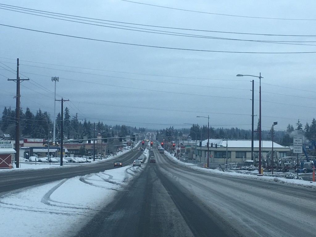
8 a.m. The Washington State Department of Transportation reports main roads are mostly clear of snow. However, ramps and side roads still have snow on them.
As the ☀️ comes up we are seeing primarily bare & wet roads w/ slush in places. Use extra caution on ramps & overpasses this a.m. ❄️ #wawx pic.twitter.com/zcK6R2VZSv
— WSDOT Traffic (@wsdot_traffic) February 6, 2017
7:50 a.m. Officials are warning people to avoid snow-covered trees.
Snow laden branches can snap without warning. Stay clear of them. pic.twitter.com/XQBV6picmz
— Bainbridge Island FD (@bainbridgefire) February 6, 2017
7:40 a.m. Several cities have received several inches of snow already, including Bellevue, which, as of 7 a.m., recorded 9.5 inches, according to the National Weather Service.
7:30 a.m. The National Weather Service says we should expect another 1 to 3 inches of snow around some areas of the Puget Sound lowlands.
“The best chances for higher accumulations remain on hilltops and lesser accumulations [are] expected near water or closer to sea level,” the Weather Service reports.
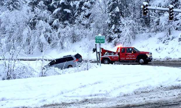
7:10 a.m. In Preston, east of Issaquah, the snow is about ankle deep KIRO Radio’s Josh Kerns reports. Along I-90, Kerns spotted several spinouts.
7 a.m. KIRO 7 reports 95 flights have now been canceled at Sea-Tac.
Outage update: Puget Sound Energy reports the heaviest concentration of outages is between Woodinville and Centralia.
The steady accumulation of heavy wet snow is weighing down trees and power lines, causing outages across our service area.
— Puget Sound Energy (@PSETalk) February 6, 2017
6:40 a.m. Some city parks are now closed due to safety concerns.
All city parks in Puyallup, for example, are closed as staff assess the trees.
6:30 a.m. Dozens of flights have been canceled at Sea-Tac. Travelers are encouraged to check their flight status before heading out.
Outage update: Seattle City Light reports 9,419 customers without power. Puget Sound Energy reports 66,970 without power.
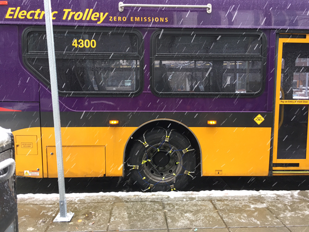
6:20 a.m. King County Metro buses are all operating on snow routes until further notice. A handful of Pierce Transit routes have also been altered due to snow.
6:10 a.m. KIRO Radio’s Josh Kerns says heavy snow is falling in Issaquah.
“If you don’t have four-wheel drive it really is a tough go,” he said.
Kerns reports main roads are clear or manageable, but a lot of people still may end up being stuck for the day.
6 a.m. Puget Sound Energy reports thousands are in the dark due to the weather. At 6 a.m., 67,916 customers were without power.
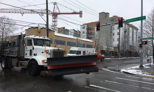
Seattle’s Department of Transportation has 40 trucks out on snow patrol from one end of the city to the other.
“We’ll run, essentially, 12-hour shifts until the event is over,” SDOT Director Scott Kubly said.
Kubly says crews are focusing on the main arterials.
Most side streets will not be plowed. DOT crews will also be clearing sidewalks that cross I-5 from Holgate to the U-District, so people can get from Capital Hill down to the city core.
In Pierce County, crews operating 28 plows pulled an all-nighter, plowing and spreading salt on major routes.
Several school districts have closed or are starting two hours late due to the conditions.
Snow is expected to continue on and off through Monday afternoon. A winter storm warning has been issued for Seattle and the Central Puget Sound region — which includes Everett, Tacoma, Bremerton and “most lowland locations east of Puget Sound” — until 4 p.m. Monday, with snow accumulations of 3-6 inches possible. Hills above 500′ could see up to three inches of snow. Accumulations of up to 8 inches are possible close to the Cascades.
“The highest snow total I’ve seen thus far is 7″ at Lake Tapps and 6″ at Enumclaw and Puyallup,” KIRO 7 Meteorologist Morgan Palmer said on Sunday night.
Seattle Department of Transportation reminded people of snow routes in the city:
#Superbowl Fans if you’re out celebrating plz plans ahead in case of #SEAsnow. Here’s our snow info page: https://t.co/TXpnBkrgPO pic.twitter.com/kgY58T9rbR
— seattledot (@seattledot) February 6, 2017
Palmer said that the “depth and quantity of moisture available is really the wild card for Monday, but indications continue to point toward some pockets of at least a couple inches of snow across much of Western Washington.”
UW Professor of Atmospheric Sciences Cliff Mass wrote on his blog Sunday that it appears “highly probable” that there will be lowland snow from Portland to the Puget Sound lowlands. Mass wrote that the models show some rain and mixed rain/snow showers during the day Sunday, but that the real action will start this evening and extend into Monday.
“The most probable value around Seattle for the event is around 3-5 inches, with more to the south,” Mass wrote. “In Seattle, there is a perhaps 25 percent chance of getting only a dusting of snow, with mainly rain falling. There is a similar chance of getting a major event with 6-12 inches. These are similar probabilities as were given for the election of President Trump — so they are not negligible.”
The Weather Service says there’s a chance for “below normal” temperatures this coming Tuesday. After that, we will transition into a mild, wet pattern.
Follow @http://twitter.com/Mynorthwest