Rain and wind could turn dangerous Friday afternoon
Nov 4, 2022, 5:05 AM | Updated: 5:53 am

Area residents will continue to deal with wind and rain through the weekend. (Getty Images)
(Getty Images)
That hot, smoky weather we saw in October feels like a distant memory. The wind, rain, and mountain snow have only just begun in the Pacific Northwest.
The National Weather Service in Seattle said now that the next storm system has made its way onshore in the Pacific Northwest, we can expect more rain throughout the day Friday. There is a danger of flash flooding.
Rain, wind, and snow storms could be coming to Seattle soon
KIRO 7 TV chief meteorologist Morgan Palmer wrote in his weather blog, “North and south of the central Sound, at the coast and in the mountains below 6,000 feet, rain will be very heavy, causing urban flooding from clogged storm drains and river flooding, especially along the Snoqualmie and Skokomish rivers which should reach moderate flood stage Saturday.”
We’ve been feeling the effects of winds overnight. The highest winds will be felt Friday afternoon along the coast north of Everett and the Strait of Juan de Fuca.
Rainfall amounts of 2-6″ are possible across the region. In the central sound, expect to see 0.75″-1.50″ of rain. Interior locations north of Everett and south of Tacoma 2-4″.
Concerning the wind, Palmer reports they will be strongest in the afternoon. “Winds around Puget Sound could gust in the 35-50mph range for many locations, including our cities around the Sound. This would be the strongest wind in many of these locations so far this fall and with leaves on many trees still (soon to be stripped clean), that will add wind load.”
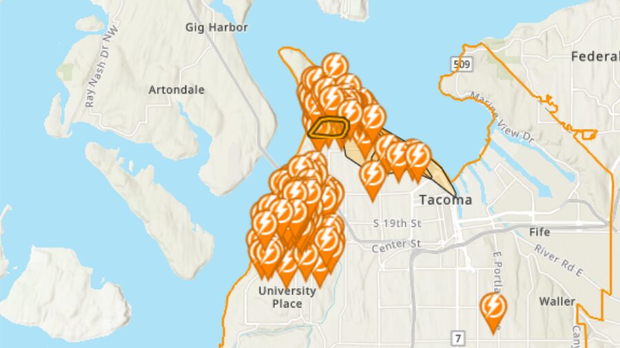
Officials say some power outages are likely. Tree and other wind damage risk is highest this afternoon.
“A late surge of westerly wind to 50+mph could occur late Friday night into the wee hours of Saturday morning. This surge of wind could impact parts of western Snohomish and Skagit counties too very late Friday night and early Saturday morning.”
The wind should subside by Saturday morning.
The weekend will be cold with highs in the 40s. “Snow levels will crash down to below 1,500 feet by Sunday, and while precipitation will begin to taper in the lowlands, it will continue to snow heavily in spots in the mountains where a Puget Sound Convergence Zone focuses snowfall,” Palmer reports.
KIRO 7 TV weather contributed to this story.