Rain in the rear-view, as Seattle gears up for warmer May
May 1, 2019, 8:47 AM | Updated: 4:50 pm
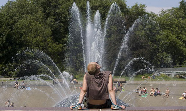
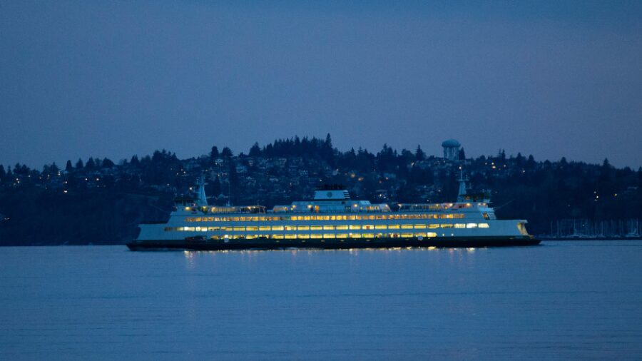
(Photo by Stephen Brashear/Getty Images)
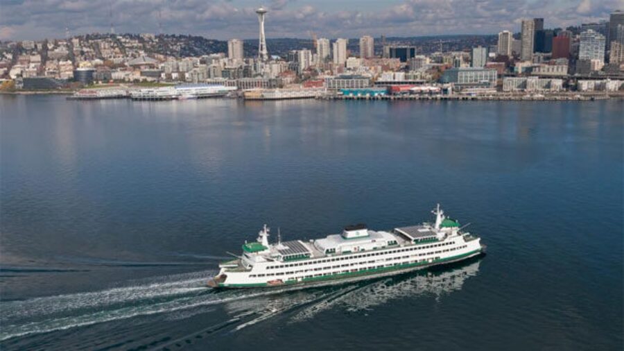
(Photo by Stephen Brashear/Getty Images)
With a rainy April now in the rear-view for the Northwest, a much warmer May is already taking hold throughout the region.
RELATED: Seattle gets another record-breaking month of weather
According to predictions from the National Oceanic and Atmospheric Administration, the Northwest is set for a May with “above average” temperatures, and “below normal” rainfall.
That will kick off this weekend, when temperatures are expected to approach 70 degrees in Seattle on both Saturday and Sunday. With that, “the chances for a significant rain event are decreasing,” says the National Weather Service.
“Better get use to temperatures in the mid to upper 60s,” UW climate scientist Cliff Mass warned in a recent blog post.
Mass attributes May’s soon-to-be dry start to a ridge of high pressure over the eastern Pacific. That said, he also noted that it’s “not unusual to have a very dry period sometime during the first half” of the month.
This comes after an April that saw rainfall well above the average for the month. According to the NWS, Seattle had 3.53 total inches of rain in April, 0.82 inches above normal.
That said, the 13.35 inches Seattle has seen between January and April also marks the driest such stretch since 2008, demonstrated by 58 rainless days in 2019 so far. That’s only the third time in the last 25 years with fewer than 60 days of rain during that period.
Seattle has been no stranger to major weather events in 2019. Last month saw the most consecutive rainy April days the area has ever seen, March had record highs for temperatures, and February shattered records for snow.
Follow @http://twitter.com/Mynorthwest