Cold air brings ‘some potential for snow’ next week across Puget Sound region
Feb 4, 2021, 12:07 PM | Updated: 1:08 pm
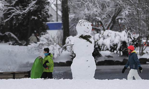
Snow in Seattle in 2019. (AP)
(AP)

As the Puget Sound region prepares for colder temperatures next week, the National Weather Service is looking at the possibility of lowland snow.
The long term forecast for the Seattle area says that there could be a chance of snow sometime next week. But given how far out we are from that — and the relative volatility of predicting snow — there are still a number of factors to consider.
The NWS notes that there do appear to be “signs of a shifting weather pattern,” brought on by high pressure offshore. This will bring colder air south into Washington, “especially east of the Cascades,” as soon as early next week. There remains a chance some of that colder weather “could seep into our region” over that period.
Seattle ‘over a month ahead’ of a typical year’s rainfall to start 2021
Given that fact, the NWS says that national weather model guidance “suggests there’s some potential for at least some falling snow and perhaps an accumulating snow during the first half of next week below 500 feet.”
That also means “a number of factors will have to line up just right” for there to be a necessary combination of moisture and cold temperatures that typically bring snow.
The final word, at least for now, is that there are still “a wide array of possibilities at this point” for next week’s forecast, with snow among them.
A trend towards colder temperatures look likely. But will it be accompanied by moisture? And will it be cold enough for lowland snow? These are factors that we'll be evaluating as we approach the weekend. #wawx
— NWS Seattle (@NWSSeattle) February 4, 2021
“Expect that the forecast will change in the next several days,” the NWS cautions. “Of course, we will continue to monitor this potential in the coming days.”