Scattered snow showers move in to South Sound Monday morning
Apr 11, 2022, 6:27 AM | Updated: 11:34 am
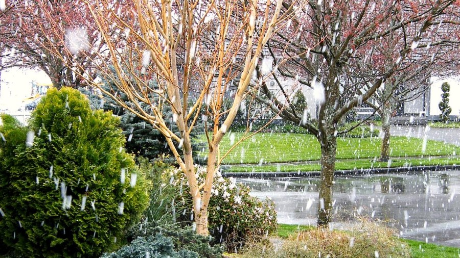
Late-season snowfall in the Seattle area. (Flickr)
(Flickr)
Drivers in the South Sound woke up to scattered snow showers on Monday, most of which began to taper off by the end of the morning.
Monitor your local weather forecast
As KIRO 7 meteorologist Nick Allard describes, Monday’s snow was mainly contained to the southern edge of the region around Olympia, as well as areas around Eatonville and White Pass, both of which are experiencing school delays.
“The rest of us, though, if you get to Tacoma north, it’s mainly just rain and that’s generally what it will be,” Allard described. “Could you see a few wet snowflakes? Sure, but I think your better bet is going to be around the Hood Canal around Olympia, south and east.”
These areas may be impacted for the morning commute, with snow tapering off mid-morning! Drive safely. Drier weather during the day! #WAwx https://t.co/qDVU2iI3Vl
— NWS Seattle (@NWSSeattle) April 11, 2022
In Chehalis and Centralia, accumulations ranged between 1-3 inches, with less than an inch in most parts of Grays Harbor, Lewis, and Thurston counties.
For “the next few mornings,” Allard predicts that there could still be some small pockets of wet snow, followed by scattered rain showers before temperatures rise back into the mid 50s by Sunday.
Follow @http://twitter.com/Mynorthwest