This is how wet Puget Sound has been this season
Mar 7, 2016, 2:54 PM | Updated: Mar 8, 2016, 8:40 am
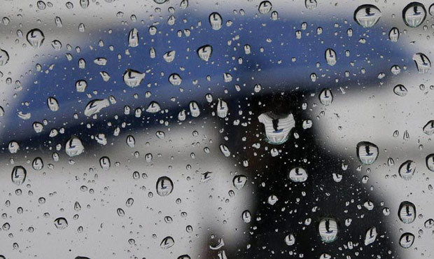
(AP photo)
(AP photo)

Despite some days of sunshine, this winter season has been one of the wettest on record in Seattle dating back to the 1890s.
In reviewing the water-year that begins on October 1, Seattle had 37.81 inches of rain through the end of February. That total is the third wettest on record, behind 37.89 inches in 1950-51 and 37.87 inches in 1998-99. Of interest, this year’s 37.81 inches thus far exceeds the normal annual rainfall of 37.49 inches – in just five months.
Setting records
This winter’s rainfall is the wettest El Nino season on record beating the previous wet El Nino of 34.08 inches set in 2006-07.
The wet October through February also saw 100 days of measurable precipitation – only the sixth time of 100 or more days going back into the late 19th century. The highest number of wet days was 105 days set in 1950-51 and that season was a La Nina winter.
This month is also getting off to a wet start. March at Sea-Tac Airport has received 1.63 inches of rain. That’s close to an inch above average for the first week of the month. If this month has just the average rainfall of 3.72 inches, the water year total will be 41.53 inches, matching the second wettest October through March period on record set in 1998-99. The wettest 6-month period was set in – you guessed it – 1950-51 with 41.65 inches.
If SeaTac Airport gets average precipitation through the end of the water year in September, the total would be 50.83 inches, matching the second wettest water year on record set in 1971-72. The wettest water year was 51.82 inches of rainfall set in 1996-97.
Warm year with low snow pack
This winter has also been quite mild – very typical for an El Nino season. For October through February, SeaTac Airport has been 2.2 degrees above normal. And this month is already running over 6 degrees above average. Hence the early start to our region’s plant life.
Despite the snowy December, the mild winter has also resulted in a gradual decline of the seasonal average mountain snowpack, particularly in lower elevations. In reviewing snow depths as of March 1 at places like Hurricane Ridge in the Olympics, and Mount Baker, Stevens Pass, Snoqualmie Pass and Paradise on Mount Rainier, the average snowpack was 91 percent.
Looking ahead
Looking ahead for the rest of this month as well into this spring and summer, the latest weather outlook for Western Washington is for more wetter-than-normal conditions for the next two weeks and then equal chances of below, near or above-average precipitation into this summer. For temperatures, the odds on warmer-than-average temperatures continues into this summer.
Sign up for breaking news alerts