Western Washington’s ‘false spring’ fades as temperatures trend toward record lows
Feb 18, 2022, 5:09 AM | Updated: 9:05 am
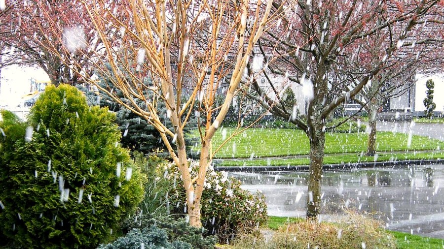
Late-season snowfall in the Seattle area. (Flickr)
(Flickr)
A late-season arctic blast bringing highland snow is poised to hit Western Washington on Saturday and Sunday, ending “false spring” temperate temperatures and a respite from the rain.
🥶RECORD LOW TEMPS POSSIBLE NEXT WEEK 🥶
A late-season blast of arctic air will send highs tumbling to near 40° next Tue-Thu, with lows sinking into the mid 20s.
For Seattle, record lows for those dates range from 24-26°. Could flirt with new records.
— Seattle Weather Blog (@KSeattleWeather) February 17, 2022
University of Washington Meteorologist Cliff Mass reports that a “major ridge of high pressure” over the eastern Pacific will depress lowland temperatures in Washington, beginning roughly on Sunday morning.
Seattle’s low temperatures are expected to drop into the mid-20s beginning Monday and persist through the middle of the week. The highs will likely straddle high 30s and mid-40s over the week.
Snoqualmie Pass is expected to see up to 13 inches of snow through Sunday into the evening; Stevens Pass anticipates up to 11 inches Saturday. Additional snow is expected in the Cascades on Sunday.
Should unprepared drivers be stopped from going over the pass?
Winter’s last gasp before spring’s arrival will also bring strong winds to Western Washington.
“Strong, frigid, northeasterly flow will push out of the Fraser River valley, across Whatcom County, over the San Juans, and then out the Strait,” Mass wrote in a blog post. “You got to feel sorry for those Whatcom country folks … they have really experienced a lot of weather. Strong easterly flow will build over the Cascade crest as well.”
Follow @http://twitter.com/Mynorthwest