You can thank El Nino for warmer weather this winter
Nov 24, 2015, 4:30 PM | Updated: Nov 25, 2015, 11:06 am

Besides a strong likelihood of warmer than average temperatures, the precipitation outlook is near average or below average through this winter. (AP)
(AP)

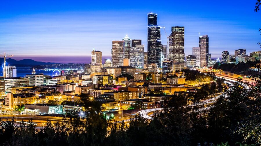
Thanks to El Nino, the Pacific Northwest’s winter seasonal outlook shows a strong likelihood of warmer than average temperatures.
According to the recently released National Weather Service’s Climate Prediction Center, El Nino conditions in the eastern Pacific tropical waters remain quite warm – among the three warmest on record going back to 1950. As of last week, sea-surface temperatures in these tropical waters had warmed to close to 3-degrees Celsius above average and showing signs of leveling off. Other such warm El Ninos included the winters of 1982-83 and 1997-98.
Besides a strong likelihood of warmer than average temperatures, the latest outlook indicates near average or below average precipitation through this winter.
Forecast and current conditions for Western Washington
The warmer than average temperatures usually result in a higher average mountain snow level. This trend translates into good odds of a below-average mountain snowpack, especially at lower elevations. Yet, a repeat of last winter’s meager mountain snowpack is not anticipated.
The latest guidance on the trend for tropical Pacific sea-surface temperatures shows a dramatic cooling trend this spring and summer. This trend means that the current El Nino episode should end and turn into either neutral, or even La Nina, conditions by the fall of 2016.
For the latest seasonal weather outlooks including this spring, summer and fall, check out the National Weather Service in Seattle.