Satellite images show before and after of demolition of White House East Wing
Oct 23, 2025, 11:26 AM
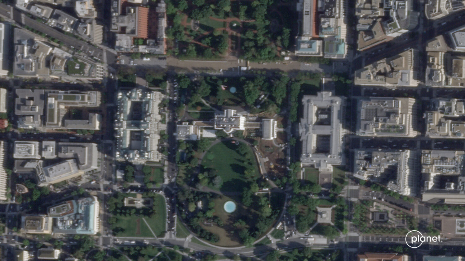
This satellite image from Planet Labs PBC shows the White House in Washington, Sept. 26, 2025, with the East Wing intact before demolition began. (Planet Labs PBC via AP)
Credit: ASSOCIATED PRESS
(Planet Labs PBC via AP)

WASHINGTON (AP) — New satellite images taken Thursday show the scale of the demolition of the White House East Wing as President Donald Trump moves forward with the construction of a new ballroom at the White House.
See the change in images from Oct. 23 and Sept. 26, 2025 in images from Planet Labs PBC.