
Alaska earthquake could send 20-foot tsunami waves to Washington coast in just 3.5 hours, new study warns
Aug 13, 2026, 2:42 PM | Updated: 4:02 pm
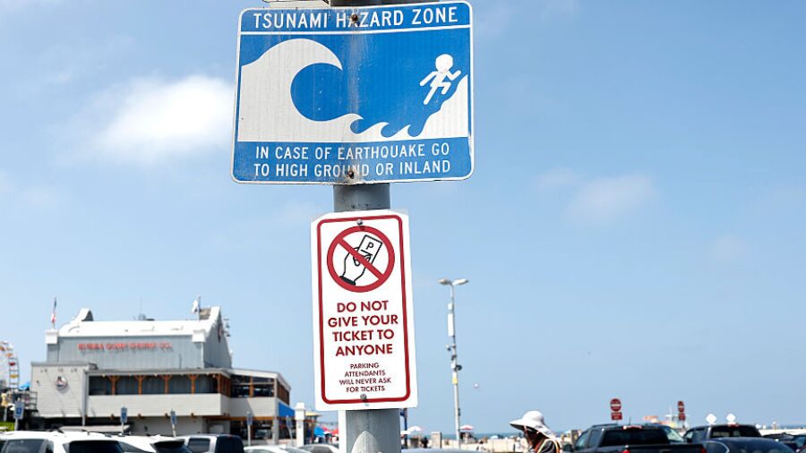
A tsunami hazard zone sign is posted. (Photo: Mario Tama, Getty Images)
(Photo: Mario Tama, Getty Images)

That’s how long Washington’s coast would have before a tsunami arrives if a magnitude 9.2 earthquake strikes Alaska.
A new study from the Washington Geological Survey finds tsunami activity could last 24 hours or more, and that the first wave might not be the biggest or most destructive.
“This categorizes the tsunami as a distant source event having greater than three hours travel time to Washington,” the Washington Geological Survey stated in a summary of the research. “This tsunami wave also propagates into the Strait of Juan de Fuca and adjacent inner waterways, eventually reaching both Olympia in the South Sound and the Washington-Canadian Border in Whatcom County.”
Waves topping 20 feet offshore near Westport, flooding up to 10 feet
The state study shows waves topping 20 feet offshore near Westport, with flooding up to 10 feet deep along the outer coast, Grays Harbor, and Willapa Bay.
The research also finds dangerous currents would push into the Strait of Juan de Fuca, Hood Canal, and the San Juan Islands, threatening boaters and waterfront infrastructure. Tsunami activity could last for 24 hours or more, and the first wave might not be the biggest — or cause the most damage.
“While the outer coast is the most impacted by a distant Alaska tsunami, Washington’s inner waterways also face some risk, particularly from fast currents induced by the tsunami,” the summary noted. “Inner coast locations such as the San Juan Islands, Guemes Channel, Port Gamble, and Hood Canal should expect hazardous current speeds, which pose particular risk to mariners and maritime infrastructure.”
RELATED STORIES
What the model does, and doesn’t account for
The summary noted that the modeling used does not account for changing tides, tidal currents, river flow, seiches, or topographic changes such as grading or natural erosion and deposition.
“Due to the regional scale of this modeling, the results are not suitable for site-specific tsunami inundation assessment, or for determining effects on the built environment,” the summary stated. “Despite its limitations, our modeling helps to raise awareness of the hazards from a distant-source tsunami and can be a useful tool for land use planning, emergency preparation, and evacuation planning.”
Read the full Washington Geological Survey tsunami report here.
Frank Lenzi is the News Director for KIRO Newsradio. Read more of his stories here.













