
Western Washington’s first fall-like storm arrives
Sep 2, 2026, 6:14 AM
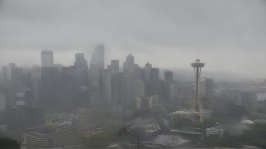
Overcast weather across Seattle as a storm approaches. (Photo courtesy of KIRO 7)
(Photo courtesy of KIRO 7)
Wednesday is a Pinpoint Alert Day as our first real taste of fall-like weather arrives.
This won’t be a major windstorm, but a combination of soaking rain, gusty winds, and the potential for thunderstorms will make for a notably unsettled couple of days. That’s why we’ve issued Pinpoint Alert Days for both Wednesday and Thursday.
A few light showers are possible across the lowlands Wednesday morning, while heavier rain develops along the coast. That rain will spread inland through the day, with periods of moderate rain and occasional heavier downpours developing Wednesday afternoon.
Winds will also increase, with most lowland locations, including the Puget Sound region, seeing gusts of 20-35 mph. Gusts could exceed 35 mph along the coast and across northern Washington from Wednesday afternoon into Wednesday, where a Wind Advisory is in effect.
We’ll be watching for any small-scale features that could produce locally stronger wind gusts. Even without widespread damaging winds, the first windy days of late summer and early fall can “prune” weakened or dead branches, so a few spotty power outages are possible.
There could also be a few isolated thunderstorms ahead of the main front, especially near the coast.
Thursday: More showers, more downpours
Thursday will remain unsettled, with passing showers and occasional downpours throughout the day. There’s a chance for a few isolated lowland thunderstorms, while the mountains will face an elevated risk of lightning. It will remain blustery, and highs will stay unusually cool — only in the 60s both Wednesday and Thursday.
The good news? We need the rain.
This will be our first bout of truly active — and perhaps “stormy” — weather in quite some time, but for most of the region, the rainfall will be beneficial after such a dry stretch leading into this past weekend.
Rainfall totals Wednesday and Thursday will generally range from ¼ to ¾ of an inch across the Puget Sound region, with more than an inch possible along the coast and in the foothills. Some locations in the Olympics could pick up more than two inches.
We’ll keep an eye on areas near burn scars for the possibility of localized flooding, but the rain reaching the Cascades and eastern slopes will be welcome news for firefighters, especially after such a dry summer.
Rain chances taper early Friday, although I’m keeping at least a slight chance of showers through Saturday because there remains some uncertainty in the longer-range pattern. A few isolated thunderstorms will also be possible, particularly in the mountains Friday.
Highs will rebound into the upper 60s to lower 70s around Seattle.
Looking ahead, early next week trends drier, with temperatures returning closer to average and highs generally in the 70s.












