
January dry spell continues as Pacific Northwest snowpack falls behind
Jan 21, 2026, 5:01 AM | Updated: 3:12 pm
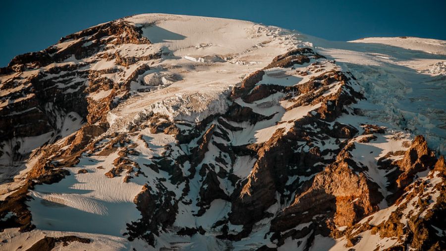
A view of Mount Rainier. (Photo: Simon Brisebois via Flickr Creative Commons)
(Photo: Simon Brisebois via Flickr Creative Commons)
Here we go again — another long dry spell in January. The mid-winter sunshine is great, but the mountains need the snow.
What is driving this dry weather?
A strong ridge of high pressure developed over the Pacific NW on Jan. 13, steering the Pacific storm track well to the north into southeast Alaska, starting this period of dry weather.
During typical La Niña winters, it is not uncommon for that storm track to buckle and head north into Alaska. In the meantime, like the downside of a steep rollercoaster, that storm track has surged cold air into the central and eastern portions of the nation.
Mountain snowpack status
The warm, wet weather in mid-December left little mountain snowpack. Then, late in the month, a cooler weather pattern developed with snow returning to the mountains. The snowpack made up some ground early this month. But now, no snow has fallen since Jan. 13, and freezing levels have been above at least 9,000 feet.
Snow amounts in the Olympics and Cascades are currently only ranging from 40 to 55% of average, according to statistics from the Northwest Avalanche Center.
The amount of water in the snowpack ranges from near 90% in the North Cascades to only the 40% range in the Olympics and South Cascades, according to the Natural Resources Conservation Service.

(Image courtesy of the Natural Resources Conservation Service)
When will this period of dry weather break?
The latest weather forecast guidance strongly suggests this dry weather pattern will continue through the coming weekend. At this point, the first decent threat of rain and mountain snow is anticipated early next week.
Last January, a similar dry streak occurred for 13 days, the longest such stretch of January dry weather so far this century. This current period of dry mid-January weather looks like it will at least match last year’s run.
RELATED STORIES



Western Washington rain amounts now behind average
After a wet start to this month, this dry streak has now put the month’s rainfall in the lowlands of western Washington behind average. The Seattle-Tacoma International Airport (SEA) received about three and a third inches of rain in the first 12 days, and none since. The average rainfall for all of January is 5.78 inches.
Everett – Paine Field is in the same boat. Only 1.69 inches has fallen this month, and the average is about 4 and a half inches.
At some point, the current weather pattern will break down.
If longer range forecast charts are on track, the return to milder, wetter conditions with snow in the mountains is expected before the end of this month.
Yet, can the mountain snowpack at least catch up to average? The usual peak of the mountain snowpack is around April 1, and the clock is ticking.
Ted Buehner is the KIRO Newsradio meteorologist. Follow him on X and Bluesky. Read more of his stories here.













