October reality check on the way with weekend rain and chill
Oct 8, 2026, 6:16 AM
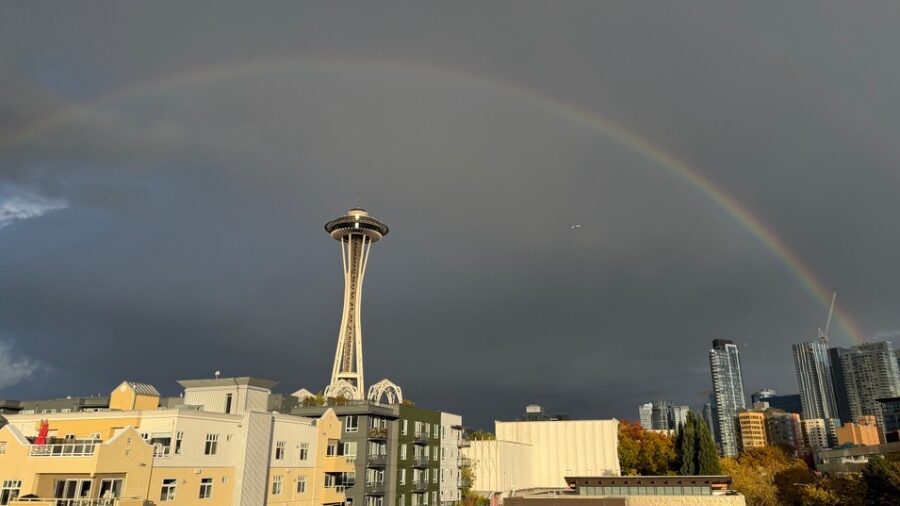
A rainbow shines over the Space Needle in Seattle. (Photo: Julia Dallas, MyNorthwest)
(Photo: Julia Dallas, MyNorthwest)
We’ve been saying it for days now: This pattern of morning gloom and afternoon sunshine won’t last. We have just one more day of balmy highs in the mid-60s and 70s before changes sweep in.
While we’ll start off with some patchy morning fog and low stratus Thursday, it won’t be quite as stubborn or extensive as what we saw earlier this week.
Once that lifts by late morning, plenty of sunshine will help Seattle push toward 70 degrees. If we hit it, this could very well be our last 70-degree day of the season.
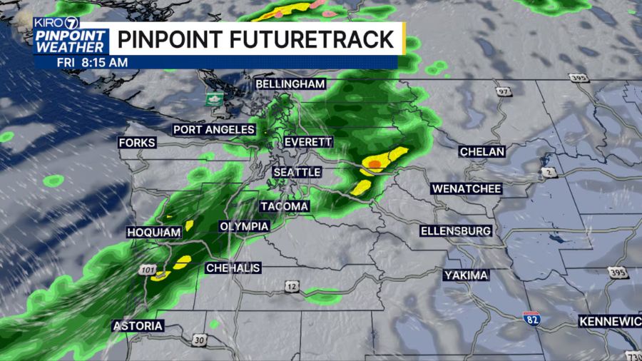
The weather pattern flips on Friday as a cold trough of low pressure drops in from the northwest. But if you’re hoping this system will give the yard a soak, you’ll likely be disappointed, as this won’t be a big lawn watering!
We’ll expect scattered showers moving from northwest to southeast through Friday morning into the early afternoon, but rainfall totals will be pretty light. Many spots in Puget Sound and into the foothills will struggle to collect more than a few hundredths of an inch, though we’ll get more along the coast and in the north.
Expect breezy conditions to pick up along the coast, through the Strait of Juan de Fuca, and along the water around the Sound, with gusts in the 20-30 mph range Friday.
Temperatures will peak in the low 60s Friday afternoon before colder air pushes in behind the front.
Snow levels will fall to around 4,500 to 5,000 feet Friday night into Saturday. That’s low enough to deliver a quick dusting to places like Paradise on Mount Rainier and across the higher North Cascades terrain, but lower highway passes (Snoqualmie and Stevens) will see mostly light rain.
Afternoon highs on Saturday will struggle to hit 60 degrees across Western Washington.
Sunday through early next week turns drier with some sunshine, but afternoon highs will stay locked in the lower 60s.
Overnight lows will dip into the lower 40s across the lowlands — with upper 30s in the outlying valleys, foothills, and mountain passes — and this will deliver the chance for some morning frost!