Pacific Northwest in historic snow drought
Feb 11, 2026, 3:21 PM | Updated: 4:05 pm

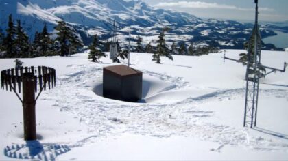
A photo of a snow monitoring station in operation. (Photo: Daniel Fisher, USDA)
(Photo: Daniel Fisher, USDA)

The Pacific Northwest is experiencing a historic snow drought, weather experts said Wednesday.
Washington has its third-lowest snowpack on record, going back to 1985.
October through January marked the warmest first four months of the water year ever recorded in Washington, averaging more than 3 degrees Fahrenheit above normal, according to Karin Bumbaco, deputy state climatologist at the Washington State Climate Office. Records date to 1895.
“We’ve started off as certainly a warm snow drought, and we’re starting to transition into a dry snow drought,” Bumbaco said during a regional climate briefing.
‘Miracle’ needed to reach normal snowpack by April
There is not much time for recovery, because the snow season ends in April, and only 34% of the state’s typical April 1 snowpack accumulates after Feb. 1.
“So, we’re later in the season (and) less likely to have some sort of miracle in terms of making up our snowpack,” she said. “Every basin in Washington, except for the upper Columbia, needs more snow than we’ve seen in 90% of our historical records to get to normal by April 1.”
Despite extreme rain and flooding across western Washington in December, the snowpack is still low. That is because the record warmth meant most of the precipitation fell as rain rather than snow.
Now conditions have become very dry.
Parts of eastern Washington are receiving less than 50% of normal precipitation.
The Olympic Mountains sit at just 34% of the median snowpack. The central and southern Cascades are similarly depleted.
UW professor optimistic, but fire concerns loom
However, University of Washington atmospheric science professor Cliff Mass remains optimistic.
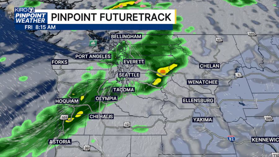
“Basically, the pattern is switched completely from what it was last month. Instead of high pressure, we have low pressure coming in. So the problem’s over, folks,” he told “The Jason Rantz Show” on Seattle Red 770 AM. “So just where they need the snow, they’re going to get it. And so we’re going to be in a much better situation two weeks from now.”
The conditions raise concerns about the coming fire season. Bumbaco said the snow we do have will melt earlier, and conditions will dry out sooner than normal. That, in turn, will likely lead to a longer-than-normal wildfire season.
“Once it dries out, we just have a bigger window of opportunity for fires to start,” she said. “It’s not great news for fires later in the summer.”
The severity of the fire season will depend a lot on the weather we get this spring.
“If we see a drier than normal and a warmer than normal May and June, it’ll absolutely lend to a greater chance of an extended fire season with increased fire behavior,” LeeAnn Allegretto, a spokesperson for the National Weather Service, said.
RELATED STORIES
Drought spans the West
The drought extends beyond Washington. Oregon and Idaho have their lowest snowpacks on record.
“Oregon is also at the zero percentile; this is the lowest snowpack, therefore, for the period of record, we have on this date, Idaho as well,” Jason Gerlich, a regional drought information coordinator at the National Integrated Drought Information System (NIDIS), said.
Washington is at the fifth percentile.
“What this means is that some of our critical water supply basins like the Willamette, the Deschutes, the Yakima, Boise, and Spokane are also all experiencing severe snow drought or that low snow water storage,” he said.
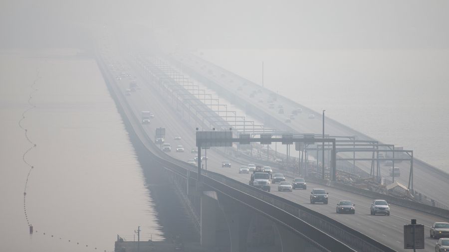
Colorado and the southwestern United States are also experiencing well-below-normal snowpack, raising the possibility of smoke impacts from distant fires even if Washington avoids major blazes.
“This is wider than just the Pacific Northwest problem,” Bumbaco said. “The whole West Coast has been warmer than normal.”
A weak La Niña remains in effect but has not produced typical precipitation patterns for the region.
“It’s just one of those things where it didn’t play out as typical weak La Niñas do,” Bumbaco said.
Frank Lenzi is the News Director for KIRO Newsradio. Read more of his stories here.