
Rain finally returns for some Friday night, cooler temps
Aug 28, 2026, 8:37 AM
(Graphic courtesy of KIRO 7)
(Graphic courtesy of KIRO 7)
It’s been nearly a month since our last measurable rain, but that dry stretch is finally coming to an end for some of us.
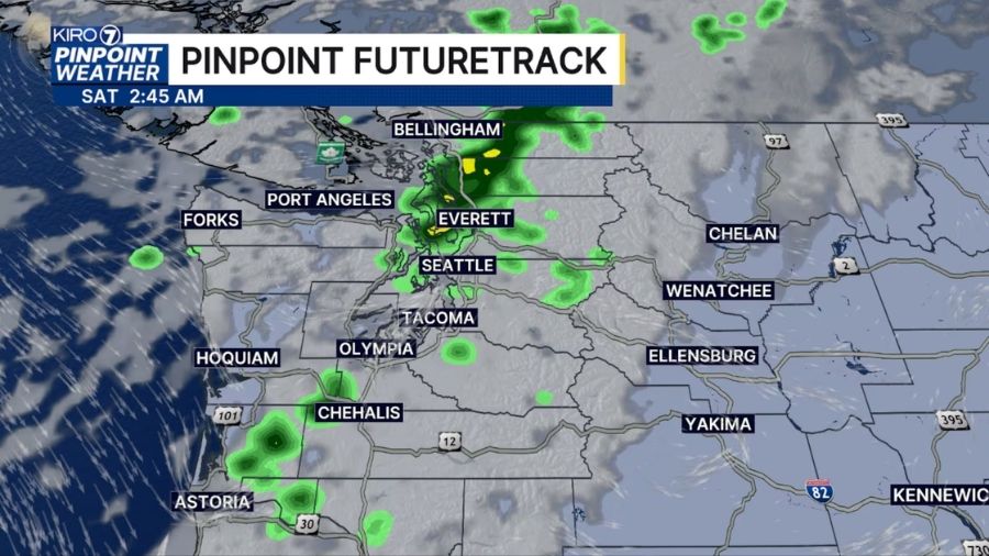
A few showers will develop Friday night as cooler air moves in, with the Puget Sound Convergence Zone potentially bringing pockets of heavier rain.
Saturday will also be noticeably cooler, with highs only in the upper 60s around Seattle.
We’ll start Friday mostly dry, with clouds and a few showers or sprinkles possible, especially near the Skagit and Snohomish County line. We’ll dry out through the morning, with some afternoon sun before showers become more likely late Friday.
Rainfall will be very uneven. The central and north Sound, particularly from Seattle toward Everett and north to the Canadian border, have the best chance of getting wet. Some spots under the convergence zone could pick up more than a half-inch, while other areas get less than a tenth of an inch — or nothing at all.
Showers continue into Saturday morning before tapering later in the day. A heavier shower could even produce an isolated thunderstorm.
Saturday’s upper-60s highs will be a big change from the warmth we’ve had recently and well below the normal high of 76 degrees.
Sunday brings a little more sunshine after morning clouds, followed by a mild and mostly dry start to next week.
Another system could bring more rain around Wednesday and Thursday, potentially giving September a soggy start.
The longer-range outlook continues to favor a better chance of above-average rainfall through early to mid-September.












