Sunny skies, frigid temperatures forecast for the weekend
Jan 12, 2024, 7:02 AM

The Puget Sound region enters into a deep freeze. (Photo by Sam Campbell)
(Photo by Sam Campbell)
Brrrr…..it is now cold outside! Much of Western Washington is now in a deep freeze after sub-freezing air poured out of the Fraser Canyon northeast of Bellingham and spread south through the region.
The light snow in Southwest Washington will continue south this morning and leave Western Washington generally with a light blanket of fresh snow amidst the cold air mass. Snow amounts varied from just a skiff to about 2 inches. However, the northeast Olympic Peninsula accumulated as much as 6 inches with what some would call – lake effect snow – cold air moving across the Strait of Juan de Fuca picking up some moisture and then encountering the Olympics, dumping the moisture in the form of snow.
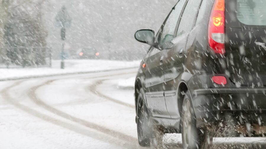
Clouds will part later today revealing some sunshine, yet high temperatures will only be mainly in the 20s for the region’s coldest weather of the season thus far. Many wet roadways yesterday had the moisture freeze, leaving ice on the roads and dicey driving conditions.
More weather information: Dangerous cold, some snow sweep across Western WA
What long-time Whatcom and San Juan County residents call their ‘nor-easter’ continues to blow today with sustained winds near 30 mph and gusts to 45 mph or so. The strong winds are expected to continue today producing wind chills well below zero, before easing by tomorrow morning. Strong east winds blowing thru the Cascades gaps are creating blustery conditions today for foothill locations.
The cold weather will continue through the Martin Luther King holiday weekend with partly cloudy skies and temperatures remaining below freezing. Highs again will remain mainly in the 20s with lows plunging into the teens, and in many outlying wind-sheltered areas, single digits are quite likely.
A Pacific weather system heading into Oregon has the potential to spread some moisture across the southwest part of Washington Saturday for a chance of some light snow. If traveling to Portland and beyond, be prepared for winter driving conditions.
Starting Tuesday next week, temperatures are anticipated to slowly moderate above freezing with a growing threat of rain. However, the initial precipitation could be interesting with some locations having a threat of a wintry mix including brief freezing rain or snow.
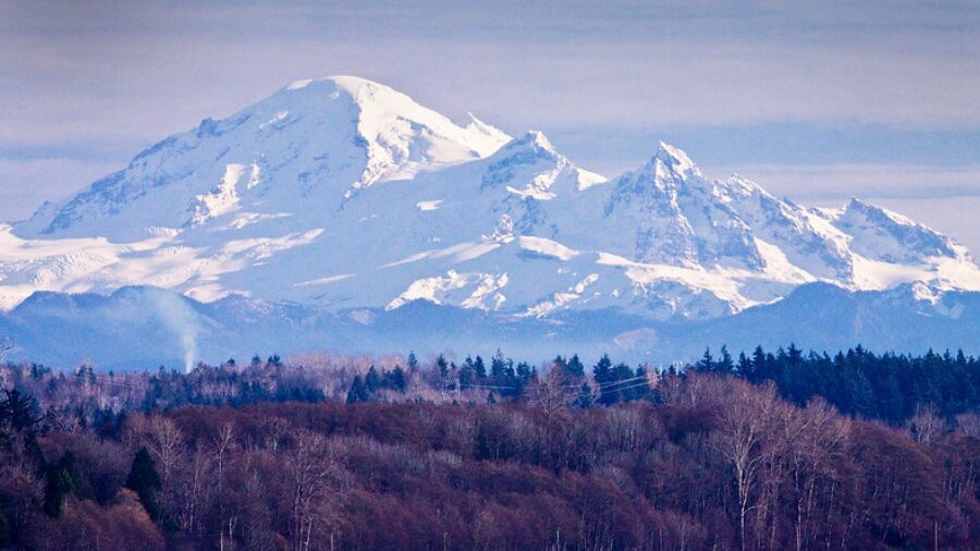
The recent dump of snow in the mountains will provide spectacular conditions for skiers and snowboarders this holiday weekend. Reviewing snow totals for the past week from Hurricane Ridge to Mt. Baker south to White Pass, about 2 to 4 feet of new snow fell according to the measurements from the Northwest Avalanche Center.
Water and wildfire managers are breathing a sigh of relief too. The water equivalent in that boosted snowpack in just one week improved from just 30 to 60 percent of normal, to now 45 to 85 percent of normal, and its only mid-January with more of the winter season remain.
Ted Buehner is KIRO Newsradio’s meteorologist