November’s ‘big dark’ begins with dry weather before rain returns to western WA
Nov 2, 2026, 8:48 AM
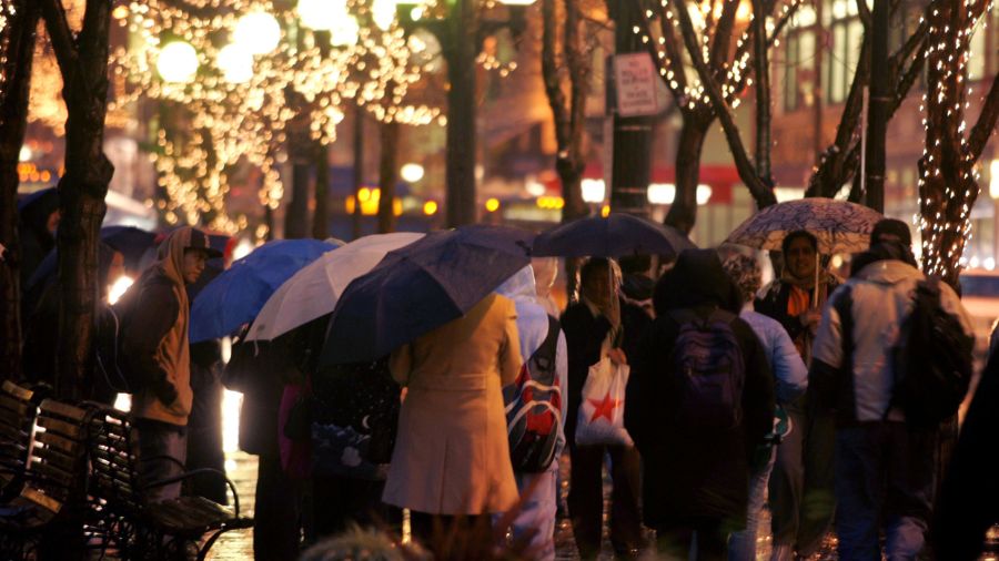
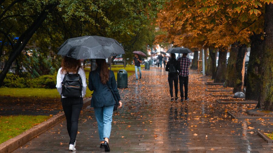
Commuters carry umbrellas as they wait for buses in Rainier Square on 4th Avenue. (Photo: Robert Sumner, Getty Images)
(Photo: Robert Sumner, Getty Images)
Welcome to November, historically the wettest month of the year. Seattle-Tacoma International Airport (SEA) averages 6.31 inches of rain during the month.
Combined with the change to standard time over the weekend, some also call this the beginning of the ‘big dark,’ with sunsets now occurring before 5 p.m.
The start of this week’s weather, though, will have dry conditions with plenty of clouds and peeks at sunshine through Wednesday. After that, a series of Pacific weather systems will offer periods of rain with breaks in between each system heading into the weekend.
The first weather system is forecast to spread rain onshore late Wednesday. The next system is expected to offer another dose of rain late Thursday, with more rain associated with following weather systems into the weekend. Overall rain amounts will vary from several inches along the coast and in the mountains to a half to just over an inch in the western interior.
High temperatures are anticipated to be around early November averages in the 50s. Overall, low temperatures should be relatively mild, ranging from the lower 40s to around 50 degrees.
Mountain conditions
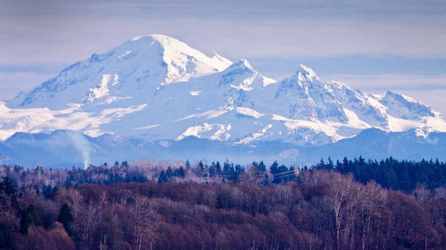
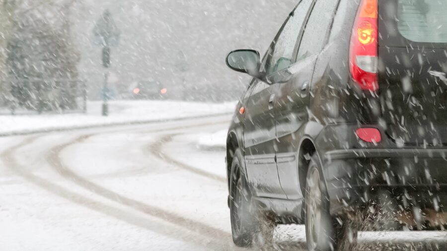
For those with plans to travel across the Cascades, snow levels this week are expected to remain rather high, primarily above highway pass levels. With precipitation starting late Wednesday, snow levels into the weekend are expected to range from 5,000 feet up to 7,000 feet. So driving conditions across most mountain passes should involve wet pavement.
How dry was October?
October overall was a dry month at SEA. Rainfall in the final week kept it from being one of the driest on record. Instead, the month finished with 1.29 inches of rain, well below the average of 3.91 inches. The monthly total at SEA ranked as the 8th driest going back to when records began at the airport in 1945.
RELATED STORIES

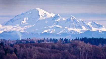

November is historically ranked No. 1 for flooding
November also happens to historically be the number one month of the year for river flooding, primarily since there is usually little mountain snowpack to soak up those warmer rainy days when snow levels rise. At this time, river levels across western Washington are relatively low. Yet recent rains have helped pull river levels up from well below normal stream flows measured in mid-October.
With more rain in sight as the month proceeds, the threat of river flooding usually rises, and those in low-lying areas along rivers and streams should prepare for the possibility of flooding. Remain vigilant by monitoring weather and river forecasts. Remember: when you are weather aware, you are weather prepared.
The weather outlook for the rest of the month offers temperatures to be primarily warmer than average with the odds of precipitation above normal. Welcome to November’s wetter weather and the ‘big dark.’
Ted Buehner is the KIRO Newsradio meteorologist. Follow him on X and Bluesky. Read more of his stories here.