Heat, smoke make for true ‘dog days of summer’ in western Washington this week
Aug 6, 2026, 6:53 AM | Updated: 6:54 am
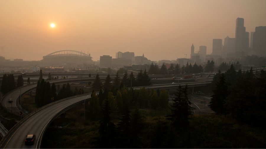
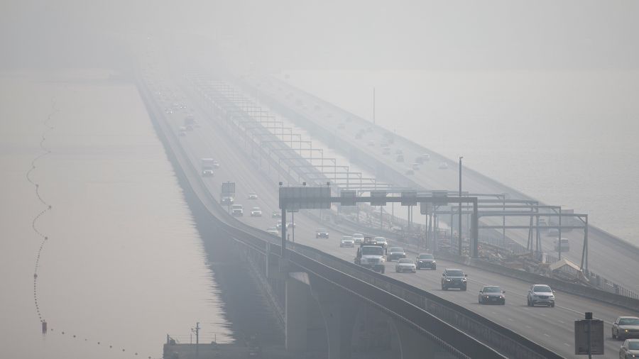
Cars drive on I-5 in front of a hazy Seattle skyline due to wildfire smoke. (Photo: Lindsey Wasson, Getty Images)
(Photo: Lindsey Wasson, Getty Images)
August is already here. This month is sometimes called the dog days of summer. This phrase goes back to varied stories from the ancient Greeks, Egyptians, and Romans. More on that shortly.
This week in western Washington, it is going to feel like dog days. Temperatures are forecast to climb back into the 80s on Thursday with some areas rising into the 90s.
The record high temperature at Seattle-Tacoma International Airport (SEA) for Thursday is 92 degrees, set in 1981. In Olympia, the record daily high is 92 in 1981. For Bellingham, Thursday’s record high is 82, established in 1955. All these daily record highs are at risk.
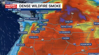
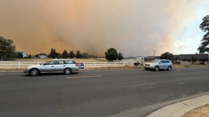
Now wildfire smoke from Canada and eastern Washington has spilled into western Washington, spoiling air quality. Dog days of August indeed.
History of dog days of August
The dog days term is tied to the rise of Sirius — by far the brightest star that follows Orion into the night sky. Also called the Dog Star, Sirius rises in the night sky in mid-July and is most prominent during August. These early civilizations blamed Sirius for the heat of the season, bringing, as historians quote, discouraging heat and oppression.
The Dog Star Sirius is 8.7 light-years away from Earth and has no impact on our planet’s weather or temperature. Yet, those early civilizations saw the rise of the Dog Star and the hottest weather of the year as a cause and effect.
The phrase dog days of summer has survived the test of time. Many Europeans take long holidays during August. Many Americans do as well.
RELATED STORIES

What’s ahead:
The warmest stretch of summer in western Washington is from mid-July to mid-August before a slow cooling trend begins as the days get gradually shorter.
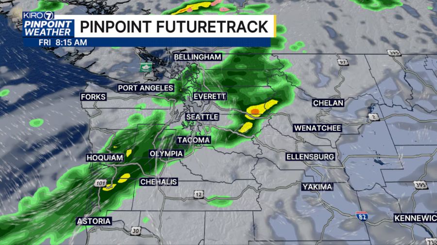
This quiet weather and smoky weather pattern is forecast to change by the end of the week. Higher pressure aloft over the region is expected to shift inland, and in turn, onshore breezes from the Pacific Ocean will offer some relief from the summer heat with cleaner air but no threat of any rain.
By this weekend, high temperatures in the interior of western Washington are anticipated to drop close to seasonal averages, ranging from the mid-70s to mid-80s. The onshore flow from the Pacific should help dissipate the wildfire smoke, improving air quality.
Until then, take precautions from the heat and the poorer air quality this week.
Ted Buehner is the KIRO Newsradio meteorologist. Follow him on X and Bluesky. Read more of his stories here.