
Weekend weather: Mountain downpours and a few thunderstorms
Sep 6, 2026, 8:04 AM
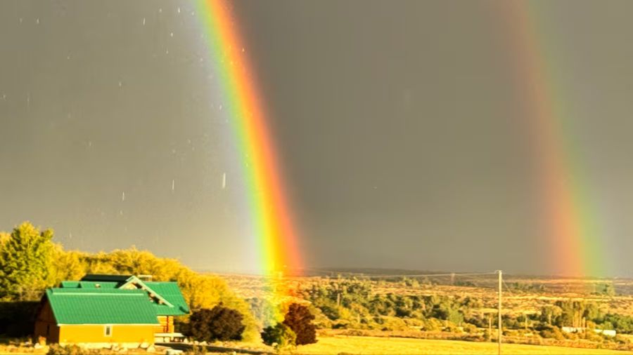
(Photo courtesy of KIRO 7)
(Photo courtesy of KIRO 7)
An area of low pressure is still spinning over Oregon today and will be slowly moving across the PNW tomorrow.
Eventually, the weather system will move over the northern Rockies, and our threat for showers will decrease by Monday. In the meantime, for the balance of this evening, there will be a few downpours and thunderstorms developing over the mountains before sunset, and some of them could survive a trip to the lowlands by early evening.
A lightning strike is possible, but the bigger story is that the rain areas that develop will be scattered across the area. As has been the case for the past few days, some places (mainly the mountains and foothills) will see a nice downpour later today, while others will not.
High temperatures will top out in the lower 70s today and tomorrow with nice sunbreaks for everyone.
Tomorrow looks to be a nice day with scattered clouds and only an isolated shower over the mountains. Around 10% coverage means most of the area will be dry on Sunday.
The Apple Cup game-day weather looks partly cloudy, with temperatures around 70 at the 1:00 pm kickoff.
The forecast for Monday, Labor Day, also looks good. Skies should be mostly sunny, and very little, if any, rain is expected across western Washington for the holiday. Temperatures will continue to average in the lower 70s, with overnight lows in the mid-50s.
Enjoy this great early fall weather. The extended outlook for next week suggests we will have more sunny days and pleasant daytime temperatures throughout the week.
Another weather system may bring a few showers to western Washington by Friday.












