Hail, mountain snow expected as cold front blows across Western Washington
Apr 10, 2015, 7:21 AM | Updated: 9:12 am
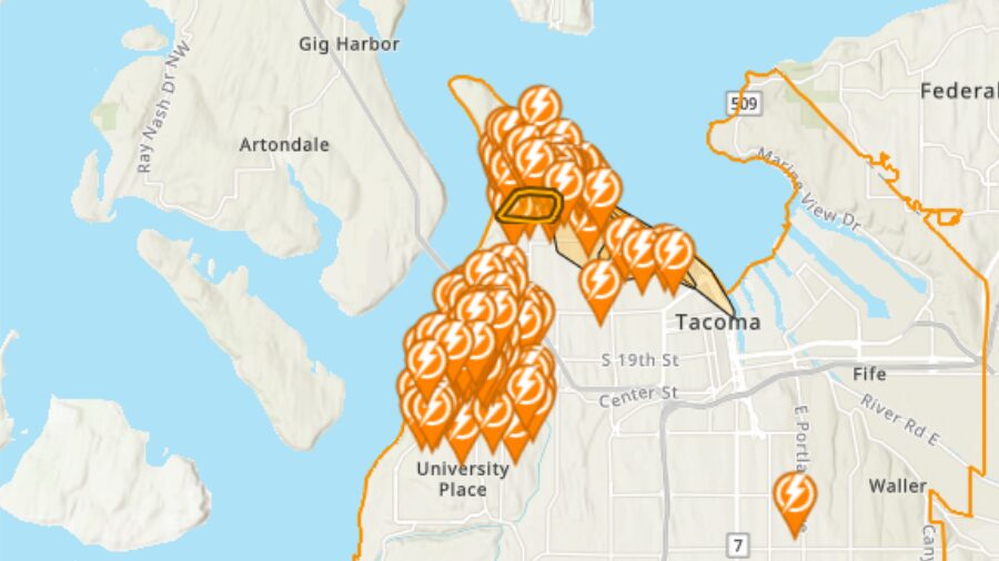
A cold front expected to move in over the Puget Sound Friday will bring gusty wind, plummeting snow levels, and an unstable air mass, according to forecasters.
The rain and wind could reach Western Washington in time for the evening commute. Temperatures are expected to dip overnight.
WSU: Record warm temps continued in March
Forecasters say the snow level will drop to 2,000 to 2,500 feet by Saturday morning. A winter storm watch has been issued for the Cascades with the most accumulation expected in King and Snohomish counties. Stevens Pass could get up to two feet of snow by Sunday morning.
Areas in the Puget Sound convergence zone will likely see a large quantity of small hail on Saturday.
Skies will clear Sunday as a high pressure system moves in, but give way to another Pacific storm expected to roll through on Monday or Tuesday.