‘Urban heat islands’ in full swing as heat wave continues
Jul 26, 2018, 9:54 AM
(Matt Pitman/KIRO Radio)
(Matt Pitman/KIRO Radio)
If you’re having trouble cooling off at night, it may be because you’re living on a “heat island.”
RELATED: We hit rare number of 90-degree days
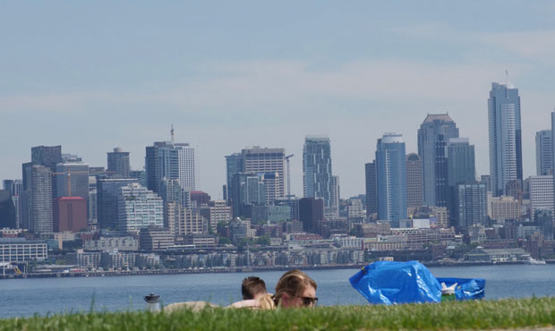
The “urban heat island” effect is in full swing, according to KIRO 7 Meteorologist Nick Allard. The result: Warmer overnight low temperatures.
These heat islands are essentially widely-developed urban areas that absorb solar energy during the day and release much less heat at night.
“So, overnight lows … will continue to make it very difficult to cool off dwellings without air conditioning or a lot of ventilation,” Allard says.
For those living in cities around Western Washington, that means several more days of discomfort before a bit of relief.
The latest forecast calls for highs to remain in the upper-80s — flirting with the lower-90s — through Sunday. The Torchlight Run and Parade on Saturday will be a hot one.
Sunday will be one of, if not the, hottest day we’ve seen around Seattle.
Relief comes starting Monday, with highs dipping to the 80s.
By Tuesday, highs are back in the 70s.
Follow @http://twitter.com/Mynorthwest