
All Over The Map: How an explorer’s mistake led to the naming of Hood Canal
Feb 7, 2020, 9:11 AM | Updated: 10:26 am


Captain Vancouver is often ridiculed for failing to notice the Columbia River, which, if you’re happy about the outcome of the Treaty of 1846, isn’t such a bad thing. Vancouver also gets the blame for another blunder: the misnaming of Hood Canal.
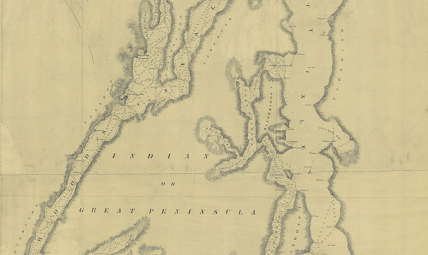
Back in May 1792, Captain George Vancouver led the first European expedition into what are now the Washington waters of Puget Sound. He and his crew came across the entrance to a body of water that ended up being a long channel, stretching about 44 miles south from Admiralty Inlet to the “Great Bend,” where the channel takes a sharp turn and continues about 11 miles to the northeast.
Vancouver wrote in his journal: “Early on Sunday morning, the 13th [of May 1792], we again embarked; directing our route down the inlet, which, after the Right Honorable Lord Hood, I called Hood’s Channel.“
While Vancouver’s journal clearly says “Hood’s Channel,” on the chart that was prepared as part of the expedition’s surveying activities, the name was mistakenly written as “Hood’s Canal.”
And Hood’s Canal is what stuck when subsequent expeditions and surveys also charted the area, and it became the name in common usage around here throughout much of the 19th century.
The U.S. Board of Geographic Names officially changed it from “Hood’s Canal” to just “Hood Canal” in 1917; that shorter version appears to have been in use perhaps a few decades before that.
There were two efforts by the state Legislature in 1947 and 1951 to officially rename Hood Canal, and instead call it “Hood Inlet.” The thought was that “canal” sounded like some man-made industrial body of water; it didn’t sound like a scenic wonderland in a natural setting where tourists would want to come and spend money.
Both efforts failed, and the tourists and new residents kept coming anyway.
Whether channel, canal, or inlet, namesake British-born Right Honourable Lord Samuel Hood was a big naval hero in the Revolutionary War, and some would say that would apply for both sides of that conflict.
Place-name expert and author James Philips writes that Hood “was called ‘the Englishman who won the war for the colonies’ because of his failure to pick up Cornwallis’ troops as pre-arranged, thereby leaving the general to defeat in the decisive battle of Yorktown.”
Lord Hood also signed the instructions for Vancouver’s expedition to the Northwest Coast, so it’s no wonder that Vancouver would attach Hood’s name to a body of water, as well as to Mount Hood in what’s now Oregon. Lord Hood lived long enough to appreciate his impact on Pacific Northwest geography, outliving Vancouver by nearly 20 years, and dying at age 91 in January of 1816.
However, Lord Hood did not live long enough to appreciate having two Cascade peaks named in his honor.
The Library of Congress has in its collection a map produced from 1826 by a cartographer named David H. Vance and publisher Anthony Finley, who were one of the most well-known teams of American mapmakers in that era. It’s called “Map of North America including all the recent geographical discoveries,” and it’s a beautiful work of art.
This 1826 map shows the Mount Hood we all know and love in Oregon, situated east of Portland and not too far south of the Columbia River. To the north, the map also shows a mountain close to where Mount Rainier stands, east of the southern reaches of what’s now Puget Sound. But on this old map, that second peak is also called Mount Hood.
Scouring the old place-name books, searching online, and checking with other local scholars reveals no evidence of what’s now Mount Rainier ever being called Mount Hood. Chances are, like so many maps of earlier times of areas yet to be fully explored, the source material was often just speculation.
Because, as anyone who’s spent time in the Pacific Northwest knows, having two Mount Hoods would be as silly as having two cities named Vancouver.


