Labor day weather sees the start of fall leading into another La Nina winter
Sep 2, 2022, 3:23 PM

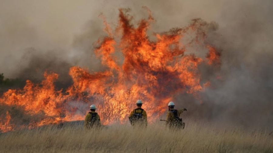
(Photo by David Ryder/Getty Images)
(Photo by David Ryder/Getty Images)
Seattle is cooling down, just in time for Labor Day weekend, after a stretch of record-breaking heat this summer, with highs in the mid to high 70s for the weekend before coming down to a breezy 70 degrees on Monday and through the beginning of next week.
“Actually, we’re going to have morning clouds, afternoon sunshine, and highs in the 70s here in the Puget Sound region which I think is just about perfect,” KIRO Newsradio meteorologist Ted Buehner said. “Now, if you’re heading east of the Cascades, you’re going to have a lot of places in the 90s and a few spots like down in towards the Tri-Cities. They’re going to crack the 100 mark, and it’s still very dry over there. So wildfire danger is quite high.”
Sea-Tac confirms 12th day of 90+ degree weather, tying 2015 record
Warmest day in the next 7 today then it’s the return of the 70s Saturday thru Thursday. Last time Seattle had 6 days in a row with highs less than 80°, July 5th-10th. Current streak of days with highs 70°+ in Seattle at 46 days, 6th longest. Record 72 days 6/29-9/8/2017. #wawx pic.twitter.com/t5gq9X9qFV
— NWS Seattle (@NWSSeattle) September 2, 2022
Over at the coasts on the Olympic Peninsula, the weather cools off quite a bit with the weather looking to be in the 60s and cloudy.
“Yeah, they’re going to have more marine clouds hanging around. It’s just good beach walking weather. That’s all I can say about that,” Buehner said.
As far as what weather we have coming up for the fall and the winter, Buehner said that we can be looking forward to another La Nina weather event with cooler ocean temperatures creating a moister atmosphere and likely leading to snow.
“We’re heading for probably a third very rare La Nina event for this coming winter season,” Buehner said. “That’s when the sea surface temperatures in the eastern Pacific tropical waters are cooler than average, which shifts the storm track up at our latitude, so we tend to be a lot cooler and wetter. So last winter, we had snow, the winter before that, we had snow here in the lowlands, we had pretty decent mountain snowpacks. That’s very typical for La Nina, so we’re going to get that again this year.”
Follow @http://twitter.com/Mynorthwest