Seattle heat wave: Hot weather could break records this week
Aug 14, 2023, 10:18 AM | Updated: 2:11 pm
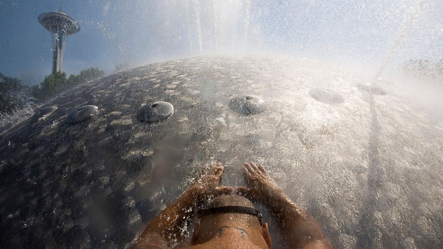
This week will involve the longest stretch of hot weather so far this year, and that raises several concerns. (Photo by Stephen Brashear/Getty Images)
(Photo by Stephen Brashear/Getty Images)
This week will involve the longest stretch of hot weather in the greater Seattle region so far this year, and that raises several concerns.
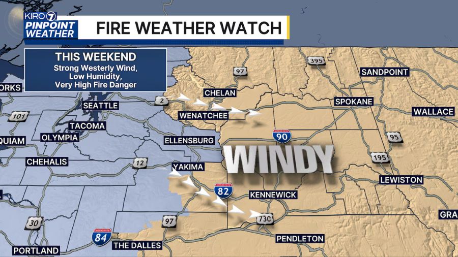
Strong high pressure aloft is expected to build over the Pacific Northwest into the middle of this week before it shifts inland, permitting marine air from the Pacific Ocean to cool temperatures by the weekend.
More on smoky Seattle weather: Smoke from Sourdough fire hangs over Seattle
In the meantime, high temperatures will rise into the 90s from the Cascade foothill region and King and Kitsap counties southward and the 80s across much of the North Sound area and interior coastal areas. High-temperature records in the Puget Sound area during the next few days are in the mid and upper 90s. Some of these daily records may be beaten.
Cooler temperatures can be found along the shores of Puget Sound, Strait of Juan de Fuca, and outer coastal beaches, with highs in the 70s.
Hot daytime temperatures are not the only concern, though. Nighttime temperatures will also be quite warm, only dropping into the 60s. With many record maximum ‘low’ temperatures in the lower to mid-60s across the interior of western Washington, some of those records may also be broken.
For those vulnerable to excessive heat, like the elderly or those with heart conditions, it is not only the heat of the day but also the heat of the night that creates health challenges and additional stress on the human body. Finding cooler locations with air conditioning will be critical. In addition, avoid leaving children or pets in cars, even for only 5 or 10 minutes.
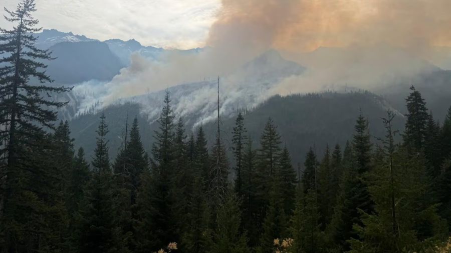
Wildfires remain a threat: Flames tower over cars in I-5 brush fire near Tacoma
The heat will also heighten the threat of wildfires. Conditions are already quite dry. Sea-Tac Airport has received only nine-hundredths of an inch of rain since the summer solstice June 21, well ahead of last summer’s pace that turned out to be the driest four months on record through mid-October.
With this heat, it will be critical to avoid fire starters, like tossing burning materials out of cars, ensuring campfires are cold when leaving, and avoiding any outdoor burning. Any fire starts will likely grow rapidly and generate wildfire smoke, spoiling air quality.
Despite the warm summer, area waterways remain cold. Wearing a life jacket helps ensure cold water shock does not occur whether on areas like rivers, lakes, and particularly in Puget Sound. Yet, the beaches will offer some relief from the heat.
Again, a change in this year’s hottest stretch of weather before this weekend will offer a cooling reprieve from the heat.
Follow Ted Buehner, the KIRO FM news meteorologist on Twitter