Chance of snow follows high winds
Nov 11, 2014, 6:36 AM | Updated: Nov 12, 2014, 7:22 am


Power outages still affected thousands of customers in the Puget Sound region as residents woke up to below-freezing temperatures, icy roads, and a continued chance of snow in the coming days.
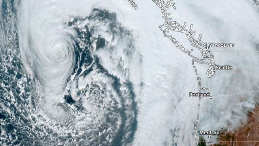
Forecasters say the chance of snow Wednesday and Thursday is a result of a moist weather system moving into the region from the southwest.
A rain-snow mix is possible in southwest Washington south of Puget Sound, according to forecasters. The first significant lowland snow of the season is possible in Eastern Washington.
In addition to freezing temperatures, the National Weather Service issued a wind advisory for areas along the Cascade foothills and Whatcom County which is in effect until 11 a.m. Thursday.
High winds, which forecasters said may have reached anywhere from 20 to 60 mph toppled trees and caused down power lines.
Puget Sound Energy reports 64,000 customers are currently without power. On Tuesday, another 2,500 Seattle City Light customers and 10,000 Tacoma Power customers were without power. Crews have whittled down those numbers.
Forecasters say snow is likely in the Columbia River Gorge and Hood River Valley and possible across the Portland-Vancouver area.
The Associated Press contributed to this report.