Chance of light snow in Seattle-area on Tuesday and Wednesday
Jan 31, 2022, 12:37 PM
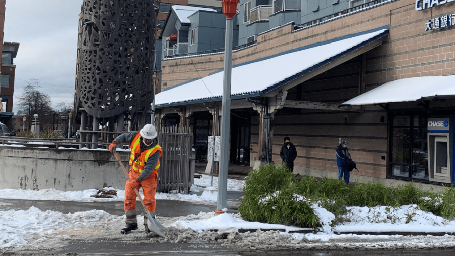
A crew member with the Seattle Department of Transportation works to clear snow in Seattle's Chinatown-International District on Dec. 28, 2021. (Photo credit: SDOT/Courtesy of SDOT Blog)
(Photo credit: SDOT/Courtesy of SDOT Blog)
Seattle-area temperatures are expected to drop this week, and with that will come a chance for light snow.
Seattle area poised for longest dry streak in over 100 days
According to the National Weather Service, snow levels will dip “near sea level” on Tuesday, with “a threat of a rain/snow mix across the lowlands with spotty light accumulations possible.” Significant impacts are “not expected,” with accumulations expected to remain under an inch, focused largely in Snohomish and Skagit counties.
Temperatures will then dip into the 20s on Wednesday morning, with a chance for another rain/snow mix for the afternoon and evening.
This comes on the tail of a nine-day dry streak for the region that ended Sunday. Seattle has seen just over 7 inches of rain in January, which is nearly 1.3 inches more than what the city typically sees for the entire month.
Prior to that dry streak, it had been 110 days since the Seattle area had seen even three straight days without measurable precipitation, after January started with record-shattering rainfall. At one point, in Seattle, the city experienced its seventh wettest January day on record (2 inches of rain), while Hoquiam had the most rainfall it had ever seen in a single day in any month (5.78 inches).
That had swathes of southwest Washington underwater, with flooding at the time fully blocking a 20-mile stretch of I-5 through Lewis County. That also coincided with heavy snowfall shutting down four main mountain passes, leaving Western Washington roadways cut off from their eastern counterparts for much the week.
Follow @http://twitter.com/Mynorthwest