La Niña fades as WA faces warm, dry spring and summer forecast
Feb 20, 2026, 5:00 AM | Updated: 3:16 pm

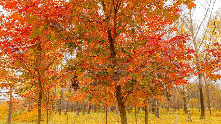
Cherry blossoms bloom on a spring day in Seattle. (Photo courtesy of KIRO 7)
(Photo courtesy of KIRO 7)
The latest seasonal weather outlook from the National Weather Service’s Climate Prediction Center was recently released. What does this spring and summer look like?
These seasonal weather outlooks provide the odds on temperature and precipitation trends of above, below, or near average – much like taking 100 poker chips and stacking them into those three categories.
Tied into this updated seasonal weather outlook is the trend of this winter’s weak La Niña coming to an end and transitioning to neutral conditions this spring. During La Niña, eastern Pacific tropical waters – those west of Peru — are cooler than average, while during El Niño, those same waters around the equator are warmer. Neutral conditions are when sea surface temperatures are around average.
The evolution toward neutral conditions means the Pacific storm track over western North America will shift, resulting in occasional onshore weather systems this spring.
The latest outlook for March shows good odds of cooler-than-average temperatures and above-average precipitation. This trend is a good sign for building the meager mountain snowpack.
RELATED STORIES
Mountain snow status
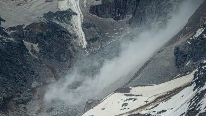
Over this past weekend, the Northwest Avalanche Center reported snow depths in the Olympics and Cascades were averaging only about 30-50% of normal. During this week of much cooler weather and spotty showers, the mountains only received two to six inches of fresh snow since Monday.
The usual peak of the mountain snowpack is around April 1. If the March weather outlook holds, the mountains have a chance to pile up more snow. Yet it needs to come in feet of new snow rather than inches at a time, with just about five weeks to go before April 1.
The outlook for spring
As the calendar moves into spring through May, the seasonal weather outlook shifts to equal chances of above, near, or below temperatures and precipitation. In this case, consider the odds as equal piles of poker chips in those three categories.
The summer outlook
The summer weather outlook offers a stark contrast. The odds are really stacked in favor of warmer-than-average temperatures and drier-than-average precipitation, continuing a trend that has been the case so far this century.
In the meantime
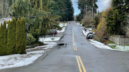
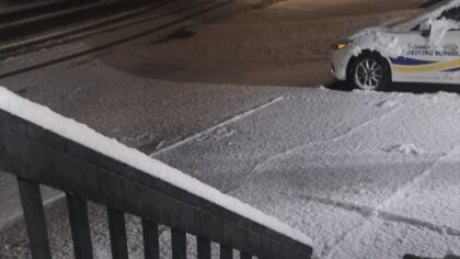
This week has been a cool one, with high temperatures struggling to climb into the 40s along with spotty showers, some falling as snow in parts of Western Washington. Average high temperatures in mid-February are around 50 degrees.
The upper-level low-pressure system off the coast, which has been steering showers through the region, was moving farther inland on Thursday, with conditions drying out. With clearing skies, Friday morning temperatures will hit the freezing mark or lower, the coldest this week. Most areas will have low temperatures in the 20s. Watch for icy spots on roadways, overpasses, and bridges during the morning commute.
Will the Friday morning chill be the coldest of the season? Most likely not, but will be close. Seattle-Tacoma International Airport (SEA) dropped to 26 degrees just a few weeks ago on Jan. 24 and 25. Olympia plunged to 18 degrees on Jan. 24, while Bellingham dipped to 25 degrees on Jan. 25.
Another upper-level low-pressure system is expected to drop from the Gulf of Alaska into a place well off the coast this weekend. This weather system will spin bands of showers onshore this weekend and into next week. The more southerly flow aloft will also bring milder air, with high temperatures reaching 50 or higher and lows moderating to 40 degrees or higher.
Mountain snow levels are expected to rise to near 3,000 feet on Sunday and hover around that level well into next week. Mountain travel conditions could be treacherous at times, yet these conditions are welcome for helping beef up the snowpack.
Wrap-up
In summary, the spring weather outlook indicates close-to-average conditions, while this summer favors warmer, drier-than-average conditions. Also, keep in mind that summer is the driest time of the year.
Unless the mountain snowpack makes a remarkable comeback soon, water supplies for agriculture, power generation, fish and recreation, and consumption could run short later this summer and early fall. In addition, this year’s wildfire season could get off to an early start and be an active one.
The next month or so could be critical for how weather, wildfire, and water supply conditions play out as summer approaches.
Ted Buehner is the KIRO Newsradio meteorologist. Follow him on X and Bluesky. Read more of his stories here.