Pinpoint Alert: Heavy mountain snow, blizzard conditions, expected Wednesday
Mar 10, 2026, 5:39 AM

(Photo courtesy of KIRO 7)
(Photo courtesy of KIRO 7)
Through tonight, a few showers will continue to move through Western Washington, with snow levels by morning very close to sea level.
Tuesday morning will be the coldest morning of this stretch in the lowlands, with most spots near freezing. Despite the cold temperatures, moisture late tonight into Tuesday morning will be rather sparse.
Still, any showers that are experienced tonight through Tuesday morning could produce some minor areas of slush or wet snow, mainly on grassy surfaces.
We’ll again watch parts of Snohomish County nearer US 2 for the chance for some more substantial snow into early Tuesday, affecting the Skykomish, Sultan, and Gold Bar areas. For the majority of lowland areas, there will be no impact to morning travel.
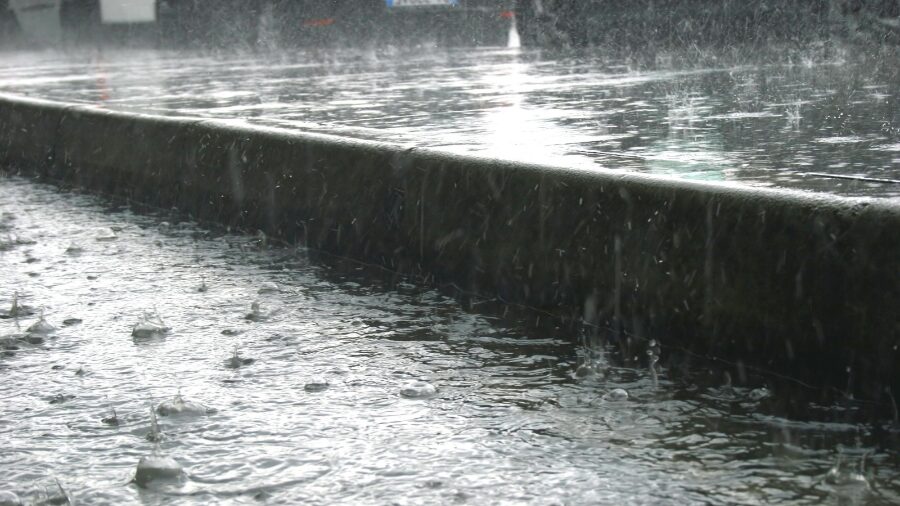
Rain showers will be on the uptick later Tuesday and Tuesday night in the lowlands as an atmospheric river approaches the area. Snow will increase a bit in the mountains late Tuesday and Tuesday night, so pass travel will become potentially difficult.
The main event is our Pinpoint Alert Day Wednesday for increasing rain and wind in the lowlands (gusts 30+mph) in the afternoon and evening hours and very heavy mountain snow. A Blizzard Warning is out for Wednesday’s impacts in the Cascades and Olympics, with the worst of the conditions from Wednesday afternoon through early Thursday morning.
Two to four feet of snow will fall from early Wednesday through Thursday in the mountains with isolated higher amounts on higher peaks. The passes will be difficult to impossible to traverse during this period, and avalanche danger will be very high. Winds in the mountains will also gust to 40mph or stronger, creating whiteout conditions and blowing and drifting snow.
While this snowfall is extreme, we would need (given location) anywhere from 50-80+ inches of snow to get the snowpack back to “normal” for this time on the calendar. We’re not likely to get back to average with this storm, but it will put us much closer! Right now, we’re at our worst snowpack conditions since 2015 or 2005, depending on location.
Avalanche danger will be very high through the end of the week and skiers and boarders should always travel with a buddy and stay out of backcountry areas when the danger is very high.
Some snow will continue in the mountains Thursday and Friday as well, with lowland rainfall. There is some potential for heavier mountain snowfall again on Friday.
By late week, the Skokomish River in Mason County will likely reach flood stage, and other rivers will be running high, with the Skookumchuck and Chehalis Rivers in flood stage by Saturday.
The weekend could hold some drier times though some rain chances remain. It looks markedly warmer next week with the potential for rainfall again, not only in the lowlands but in the mountains too, which could continue river flood potential.
With a Blizzard Warning in the mountains Wednesday, what is a “blizzard?” #wawx pic.twitter.com/UsTPhYxmt2
— Morgan Palmer (@MorganKIRO7) March 9, 2026
While this snowfall is extreme, we would need (given location) anywhere from 50-80+ inches of snow to get the snowpack back to “normal” for this time on the calendar. We’re not likely to get back to average with this storm, but it will put us much closer! Right now, we’re at our worst snowpack conditions since 2015 or 2005, depending on location.
Some snow will continue in the mountains Thursday and Friday as well, with lowland rainfall. By late week, the Skokomish River in Mason County will likely reach flood stage, and other rivers will be running high, with the Skookumchuck and Chehalis Rivers in flood stage by Saturday.
The long-range forecast problem is the anticipated setup of another atmospheric river late week into early next week, with eventually milder temperatures. The trend in forecast models has been to direct the main plume of moisture up into British Columbia, but this isn’t certain. If the heavy rain is focused farther south across our area, we could be looking at some additional river flood impacts. We’ll watch that as we get closer.