Smoke, haze return to Seattle but don’t blame Canada
Aug 28, 2017, 5:37 PM | Updated: Aug 30, 2017, 10:12 am

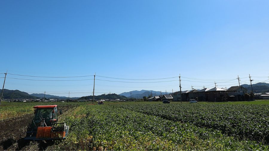
View of the Nisqually Valley from Paradise at Mount Rainier shows haze skies. (National Weather Service Seattle)
(National Weather Service Seattle)
Wednesday update:
Breathe now while you can. KIRO 7 meteorologist Nick Allard says we should expect hazier skies to return on Monday. A system that moved in Tuesday night pushed smoke from wildfires in Oregon in Cle Elum out, but that respite will be short-lived.
Check here for the latest air quality index.
—-
Smoke and haze from wildfires returned to the Puget Sound area this week, bringing down air quality, but this time it’s not drifting down from wildfires in British Columbia.
RELATED: Summer Seattle air quality is equal to stagnant winter air
The air quality index rated the Seattle region in the 30s through Monday, but that number quickly shot up to 72 by Tuesday morning. To put that in perspective, any rating below 50 is considered good; 72 is “moderate.” When heavy smoke from British Columbia fires drifted down into Western Washington earlier this month, the air quality around Puget Sound was rated between an unhealthy 150-175.
Wildfire smoke is certainly visible in the AM twilight, but not thick enough to preclude a view of Venus & Orion rising to our east. #wawx pic.twitter.com/8bYA7iTwiF
— NWS Seattle (@NWSSeattle) August 29, 2017
The National Weather Service says the haze that drifted into the region on Monday comes from easterly winds blowing smoke from several smaller fires burning near Cle Elum and even some from southwest Oregon. The low level haze is likely from Oregon and smoke in higher elevations is from Central Washington.
Despite the spike in air quality, meteorologist Andy Haner with the National Weather Service in Seattle says things should improve by Tuesday afternoon.
KIRO 7’s Morgan Palmer says this latest round of haze is expected to be short-lived, especially when compared to earlier this month. You should notice bluer skies by Tuesday afternoon.
Palmer says temperatures will cool off a little mid-week, but highs will remain in the upper 70s. It’ll warm back up to the mid-80s again on Saturday.
Meanwhile, Seattle is expected to break a record soon. This will be the first time in 120 years worth of records that Seattle’s high temperatures in July and August will be 70 degrees or warmer, according to the National Weather Service. It’s also one of the driest summers on record, according to University of Washington Climatologist Cliff Mass. Since it rained in mid-June, Mass said on his blog last week that only .02 inches of rain fell in July and August.
RELATED: Seattle area slated to break 103-year-old dry weather record
Follow @http://twitter.com/Mynorthwest