Seattle area blanketed in thick fog during Tuesday commute
Nov 5, 2019, 7:27 AM
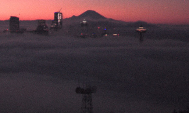
Seattle was socked in by fog Tuesday morning. (KIRO 7)
(KIRO 7)

A dense blanket of fog descended on the Greater Seattle Area Tuesday morning, engulfing many of the major commuter roads, and significantly reducing visibility.
Seattle’s streak of dry weather will soon come to an end
Fog in parts of Seattle reached as high as 750 feet downtown, and just under 500 feet closer to the Space Needle according to the National Weather Service.
For early-morning drivers down near Sea-Tac, visibility was reduced to just one-eighth of a mile.
Happy Tuesday! It's looking pretty foggy in the Seattle area this morning. I can almost hear a fog horn off in the distance. When you're driving in dense fog, remember to be alert, slow down and turn on your headlights. pic.twitter.com/oHaESVbOmY
— WSDOT Traffic (@wsdot_traffic) November 5, 2019
KIRO 7 meteorologist Nick Allard says we’ll see sunshine later in the day Tuesday, but that morning fog “will take a while to clear.” Temperatures in the area were in the 20s, 30s, and 40s across the region to start the day.
In a rare reversal, it was colder at the NWS’s Seattle headquarters located at 30 feet elevation (39 degrees) than it was at Camp Muir (40 degrees), at over 10,000 feet above sea level.
This all comes as part of what University of Washington climate scientist Cliff Mass calls “the middle of Northwest fog season.”
“Conditions are nearly ideal for low-level fog and low clouds,” he noted in a recent blog post.
That’s caused by a high pressure ridge offshore, which sends “sinking air” cascading across Western Washington. That same high pressure also leads to lighter wind, “which is helpful for fog,” Mass points out.
Rainy weather and dark skies overtake Puget Sound for foreseeable future
Dry weather will persist for the rest of the week in the Puget Sound region, before a near-constant streak of rain descends on the Northwest.
Starting on Saturday, Nov. 9, rain is in the forecast for the Seattle area for at least 10 straight days, with temperatures hovering between the low 40s and low 50s for much of that period.
That will likely become the new normal for the better part of the next three months, with November, December, and January holding the distinction of being the rainiest months of the year for the Puget Sound region.