Washington’s onslaught of storms finally calms down
Dec 26, 2018, 11:25 AM | Updated: 12:23 pm
(AP)
(AP)
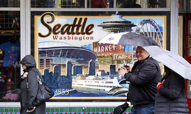
Western Washington has been inundated with wind, rain, and even a tornado in December. But now, the region’s Christmas gift appears to be a temporary reprieve.
RELATED: Washington storms dump snow on mountain passes
If you looked outside anywhere in the Puget Sound region for most of December, odds are you would have been seeing a major weather event. From windstorms that left tens of thousands without power, to a literal tornado ripping through Port Orchard, it’s been a tough month for weather, even by the Pacific Northwest’s standards.
After Christmas, though, things have finally started to settle into more typical Northwest patterns. Up next for the region: Scattered showers, a king tide, our first lowland snow in Everett, and more snow for the Cascade mountain passes.
The king tide
The king tide isn’t just a throwaway line in a superhero movie. It’s also a very real weather event about to land along the coastal areas of Seattle and Washington state.
Simply put, a king tide is essentially an extremely high tide that occurs a few times a year, with a 13-foot tide hitting Seattle waterfront areas Wednesday morning. Similar levels are expected every day through the end of 2018.
The season’s first lowland snow
Early Wednesday morning, the National Weather Service reported a mix of rain and snow from Everett all the way north to the Canadian border. Up to an inch of slush is expected.
While the Everett area gets little more than some light slush, snow at the state’s higher altitudes continues. Highways over the Cascade passes are blanketed in snow around 800 to 900 feet. Traction tires are required on Snoqualmie Pass, and advised for Stevens Pass.
Snow-covered highways over the Cascade Passes. Snow levels are currently around 800-900 feet. Check @wsdot_passes road conditions before you go: https://t.co/F1RkiPATka pic.twitter.com/jasU1vAAMx
— NWS Seattle (@NWSSeattle) December 26, 2018
The NWS expects between two to six inches of snow in the passes through Wednesday evening.
The rain continues
While there’s nothing quite on the level of recent storms in the immediate forecast, Western Washington can still expect a healthy dose of showers.
Rain is expected in Seattle most days over the next two weeks, with a small handful of partly cloudy interludes mixed in along the way. That pattern will continue into the foreseeable future, barring any sudden freak weather events.
Follow @http://twitter.com/Mynorthwest