Wet, windy weather as isolated snow showers fall in South Sound
Dec 19, 2016, 5:39 AM
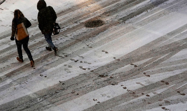
South Sound areas saw scattered snow showers Monday morning. (AP)
(AP)
By Kelly Franson
Isolated snow showers are falling in areas of Western Washington this morning, but snow will turn to rain by sunrise as temperatures warm up into the 40s.
Wet and windy weather will follow as the work week begins.
With precipitation moving in, snow has been reported in such areas as Olympia, Shelton, and the Hood Canal. Accumulation is not expected on main roads but could be seen on grassy areas and side roads.
Southerly winds picked up overnight. A Wind Advisory is in effect until 10 a.m. for the North Coast, North Interior, Hood Canal area and Everett area. Winds of 20 mph to 30 mph are expected with gusts up to 45 mph.
Outside the advisory area, we’ll have slightly weaker winds, but it will still be pretty gusty with winds likely peaking early Monday morning through the commute.
Snow will be heavy at times in the mountains. A Winter Weather Advisory is in effect for the Cascades until noon on Monday. We should pick up 4-8 inches Monday morning.
Rain in the lowlands should end mid-morning on Monday or at least pause.
We’ll see another round swing in from the southwest Monday evening with southerly winds picking up again. It looks like the bulk of the rain will fall overnight with blustery showers continuing on Tuesday.
Wednesday looks mainly dry for now, but with another system expected Thursday, we’ll have to watch the timing. Thursday’s rain turns to showers on Friday with highs likely in the mid-40s.