Western WA heat wave: 90 degree-day prompts heat advisory during first Seattle World Cup match
Jun 15, 2026, 8:00 AM | Updated: 3:03 pm

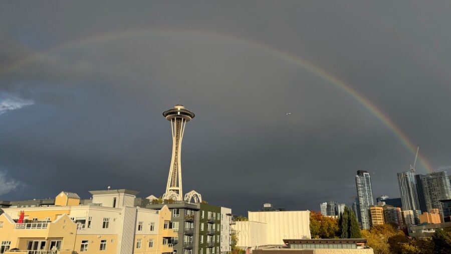
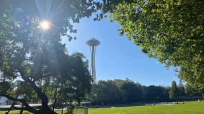
Sun shining near Seattle's Space Needle. (Photo courtesy of Cliff Mass Weather Blog)
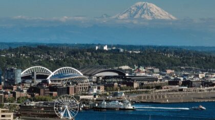
(Photo courtesy of Cliff Mass Weather Blog)
The hottest weather of the year thus far is here, but relief from this late spring heat wave lies ahead for the rest of the week. The National Weather Service (NWS) has a heat advisory in place for much of Western Washington through early Tuesday morning.
The hottest temperatures during this period of warm weather will be on Monday, and are expected to equal or break daily records. For instance, the record Monday at Seattle-Tacoma International Airport (SEA) is 88 degrees, set in 1963. The forecast high is around 90.
The first World Cup game in Seattle, held on the pitch at Seattle Stadium (Lumen Field), starts at 12 p.m. Monday, meaning the game will be held during the hottest time of the day. Field conditions will be even hotter for the players and team staff.
Olympia’s Monday record high of 88 was also established in 1963, and the forecast is to reach the mid-90s. Everett-Paine Field has a Monday record high of only 78, set in 2015, with a forecast high climbing above 80. Bellingham’s Monday record is 82 degrees, and the forecast is close to that reading.
Heat of the night
The NWS heat advisory indicates abnormally warm conditions that include not just daytime heat but also nighttime heat. The ongoing hot conditions place additional stress on human health, particularly those already vulnerable, such as infants, the elderly, and those with heart or respiratory ailments.
During this period of late-spring heat, a number of record-warm low temperatures are likely to be set. Low temperatures across the interior of Western Washington on Monday and Tuesday mornings will fall only into the mid-50s to mid-60s.
At SEA, the record warm low temperatures for both mornings are 61. At Olympia, the record is 54 degrees on Monday morning and 58 on Tuesday morning. Bellingham has record ‘warm’ low temperatures in the upper 50s both mornings, while Everett-Paine Field has its record warm lows in the mid-50s.
RELATED STORIES

What to do during hot weather
It is very important to relieve the stress from hot weather, particularly early in the warm season. Here are some tips to be cooler and avoid any heat-related health concerns.
- Seek air-conditioned facilities, such as shopping malls and theaters.
- Stay hydrated by drinking plenty of water and avoid alcoholic beverages.
- During the heat of the day, avoid strenuous activities like running or jogging, and if working outdoors, take breaks and drink plenty of water.
- Avoid leaving children and pets in cars, even if for just a few minutes. Temperatures inside a vehicle can soar to well above 100 degrees in less than 10 minutes, even with the windows open. Remember — beat the heat, check the back seat!
- The most vulnerable to prolonged heat are the elderly, the very young, and those with heart-related medical conditions. Check on these family members, friends, or neighbors to help ensure they are doing OK.
- Wear light, loose-fitting clothing to help reflect the heat.
- Area waterways also offer cooling relief. Just remember to wear a properly fitting U.S. Coast Guard-approved life jacket. Area waterways are still cold. Accidentally falling into such cold water results in cold water shock — like stepping into a cold shower — the leading cause of drownings across the state.
Cooler Conditions Just Ahead
Higher pressure aloft over Western Washington, combined with low-level offshore airflow toward the Pacific Ocean, is driving this late-spring heat. By Monday night and Tuesday, both systems are forecast to change. The high pressure aloft is expected to weaken and move inland, and the low-level flow will shift onshore, bringing cooler air from the Pacific.
The cooling will begin along the coast Monday night into Tuesday and continue Wednesday. Temperatures in the western interior should drop around 10 degrees on Tuesday from Monday’s hot conditions, mainly in the 80s. On Wednesday morning, marine clouds should invade parts of the interior, with high temperatures dropping down into the more comfortable 70s.
With the onshore flow of cooler air, the rest of the week is expected to have areas of morning marine clouds, with sunshine for the remainder of each day. Outer coastal areas will likely have more persistent marine clouds.
At this point, no rain is in sight through the coming weekend. This weekend also marks the summer solstice early on Sunday at 1:24 a.m. Depending on the location in Western Washington, the total amount of daylight from sunrise to sunset is around 16 hours.
With the summer season getting underway next week, more ‘hot’ weather is likely. The latest seasonal weather outlook continues to reflect warmer and drier-than-average conditions through September. Consider this current period of ‘hot’ weather as a dress rehearsal for more heat coming this summer.
Ted Buehner is the KIRO Newsradio meteorologist. Follow him on X and Bluesky. Read more of his stories here.